
History
Of all of the indigenous groups of the Amazon, the Yanomami are without a doubt one of the most studied and well known.
The name Yanomami means man, people or species. Those who are not Yanomami are “napë,” which roughly translates to “people who are foreign, urban, or dangerous.” This is how the Yanomami refer to everyone who is not Yanomami. Their language is unrelated to any other of the South American language families.
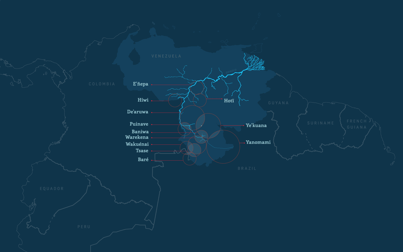
At the moment of their earliest contacts with Europeans, the Yanomami had been in the middle of a significant demographic and geographic expansion, exploring new territories along the shores of the Orinoco, Padamo, and Mayaca rivers. In the northern and western zones of their territory, the Yanomami may have clashed with the Ye'kuana, who successfully resisted their advances.
Environment
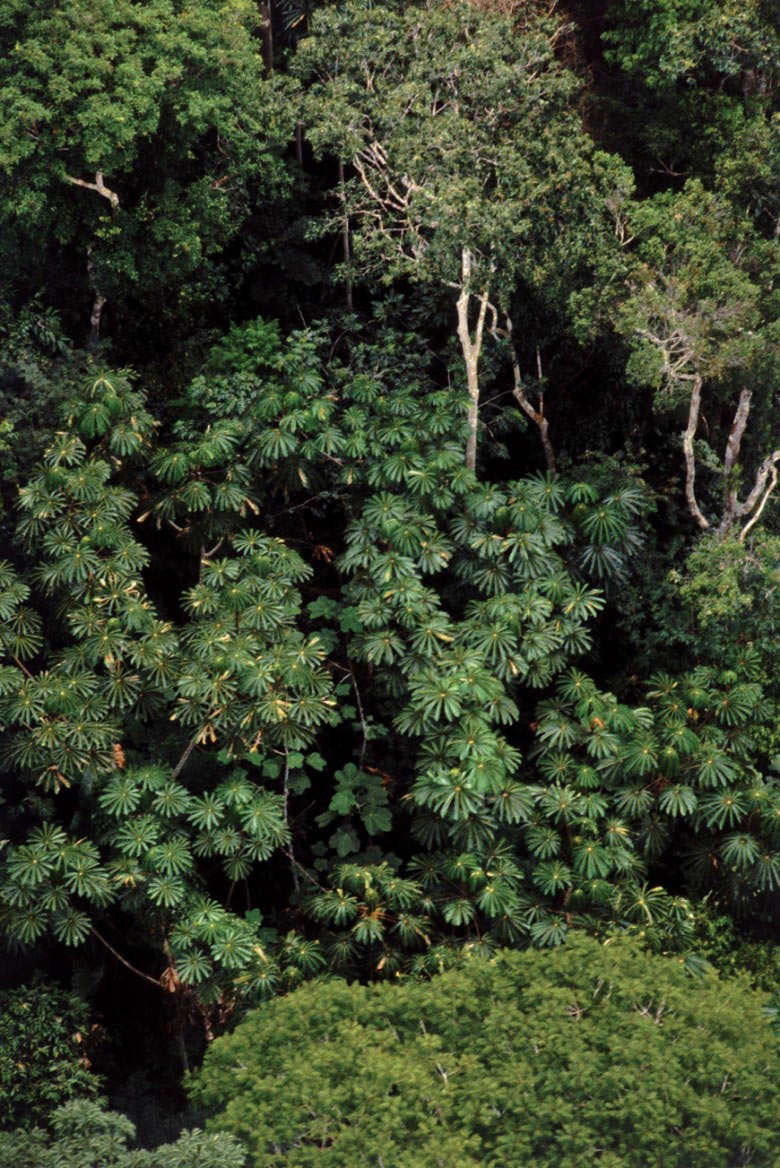
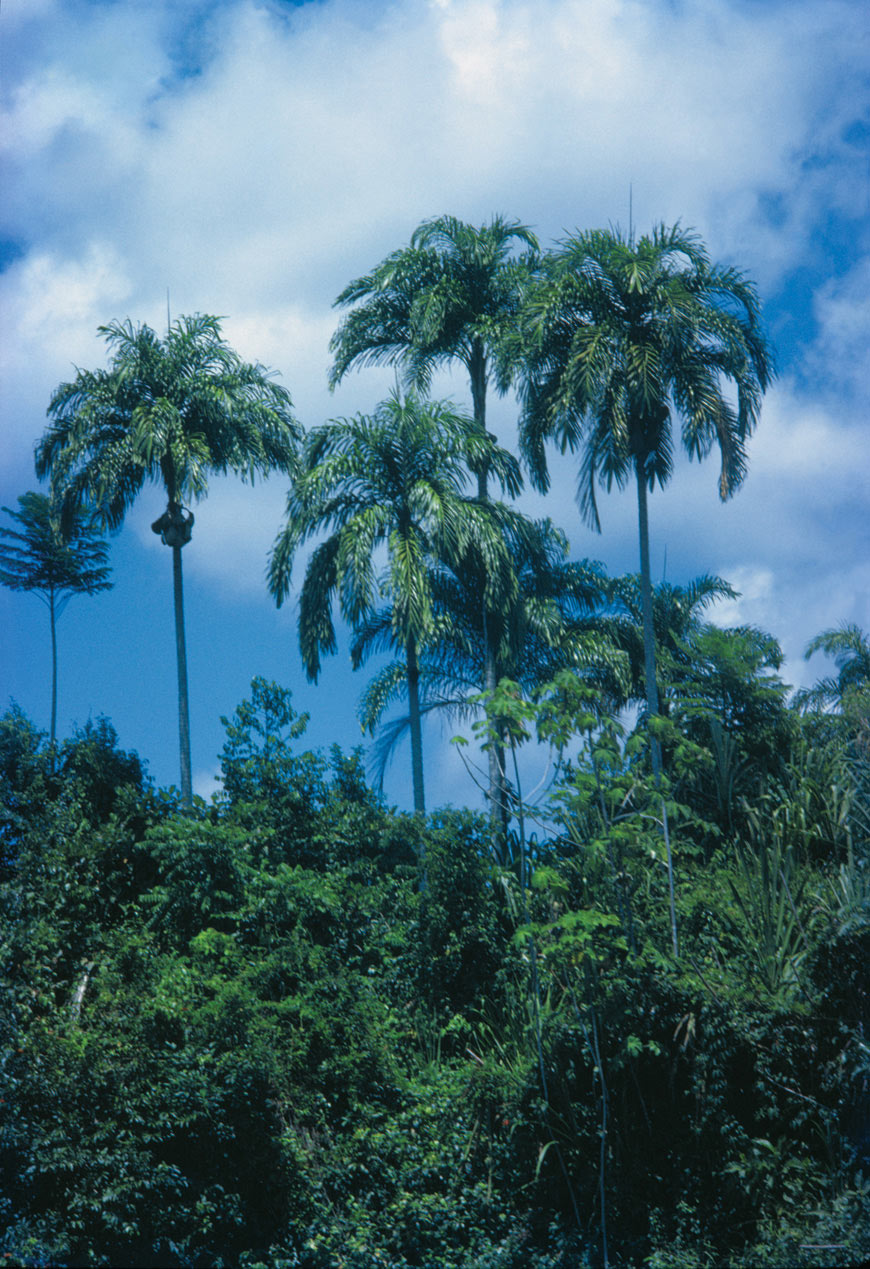
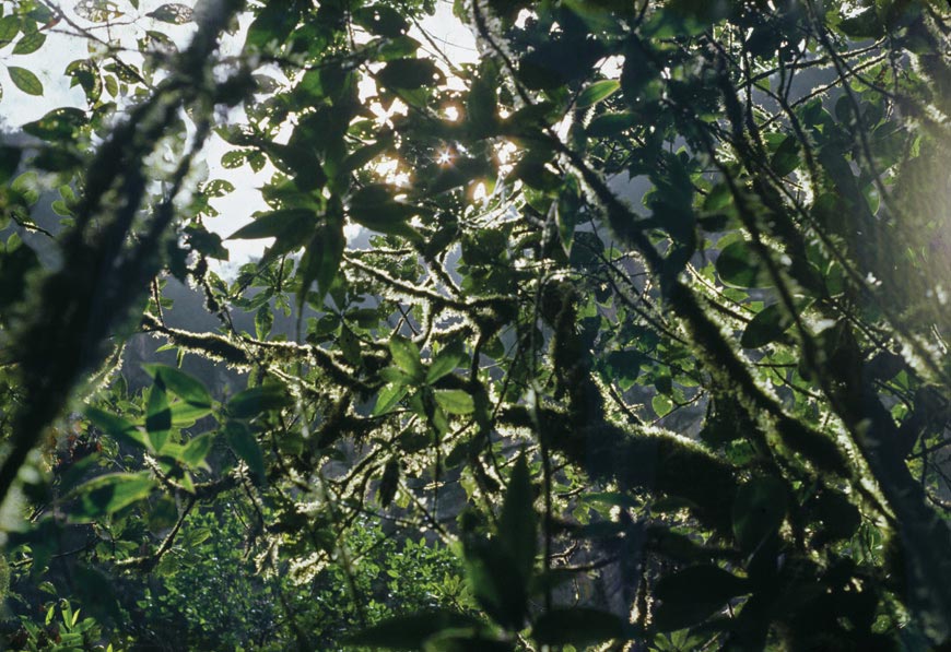
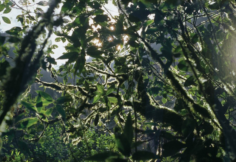
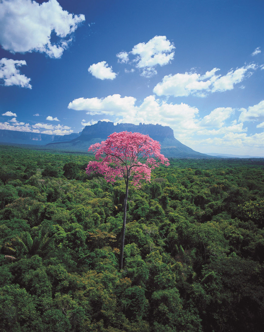
Most of Yanomami territory, with the exception of some northern savannahs, is covered by tropical rainforest.

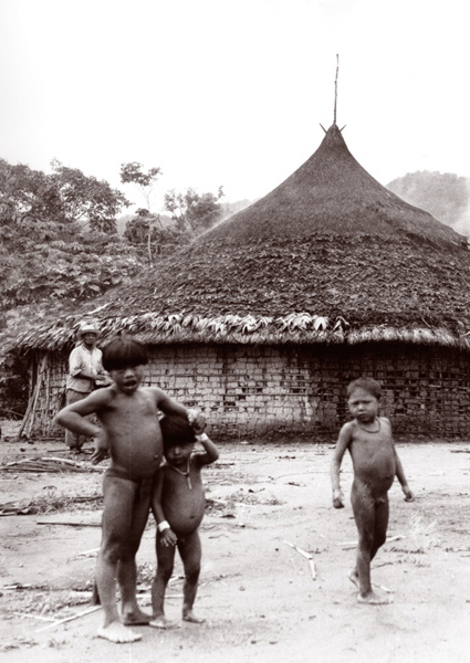
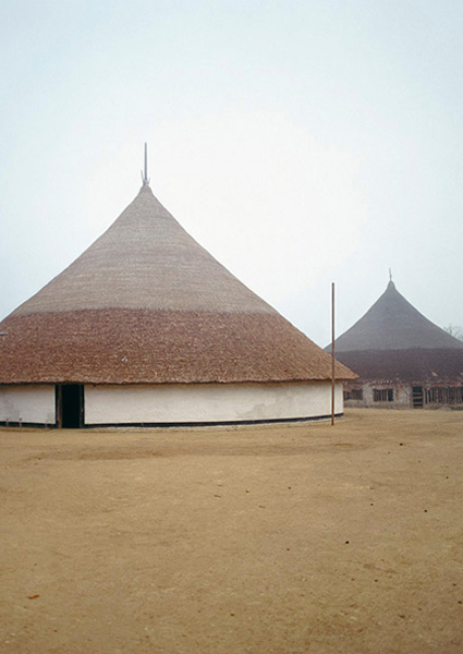
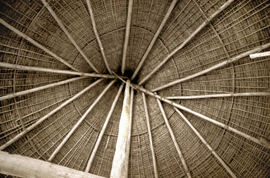
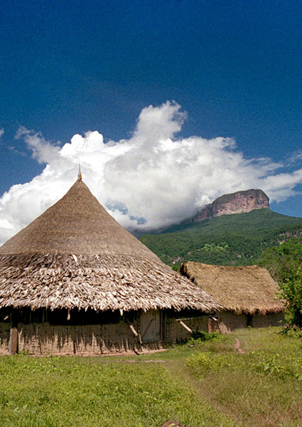
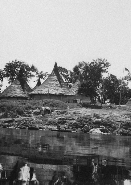
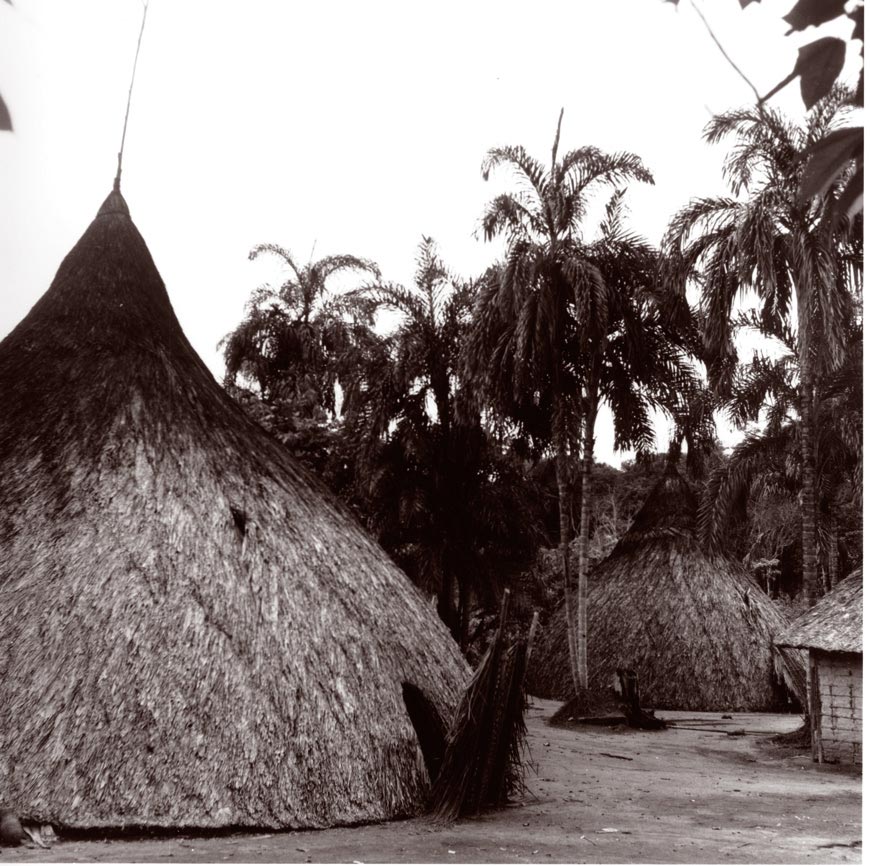
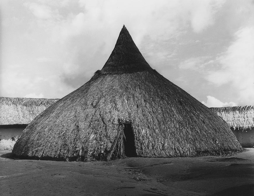
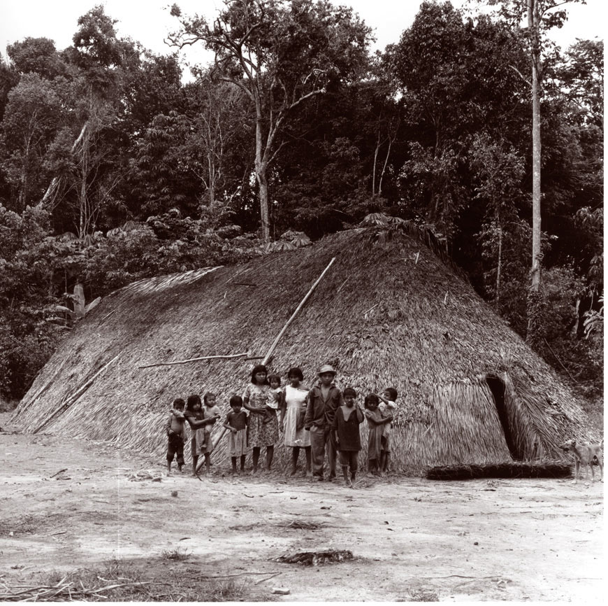
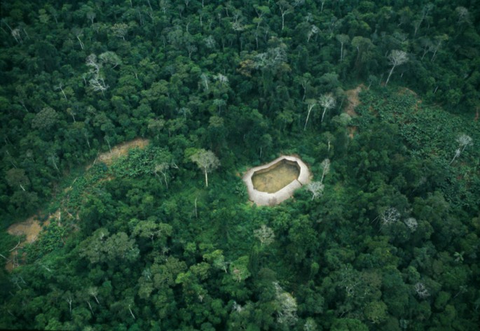 Aerial view of a shabono.
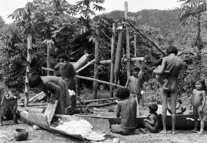
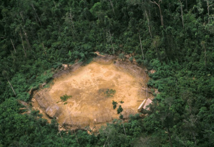 The circular design of shabonos protects against surprise attacks by invaders.
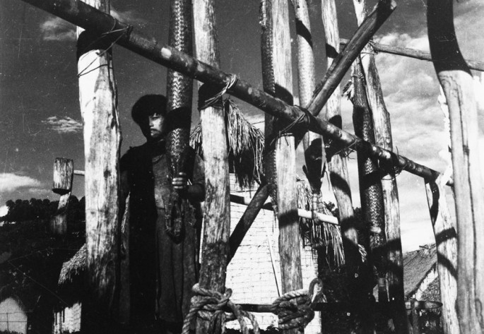
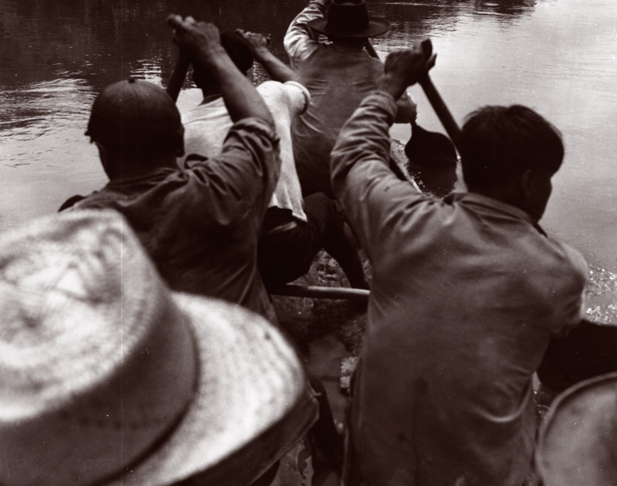
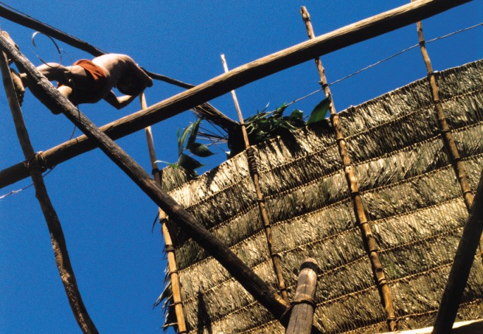 Building a shabono takes several weeks, and both men and women participate in the construction.
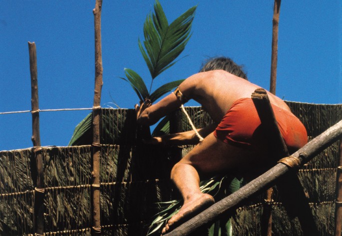 Thatching a shabono with the leaves of the Karai-henak, a small palm.
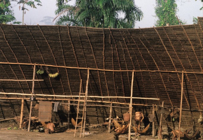 Inside, a series of simple sheds arranged in a circle form a central communal courtyard.
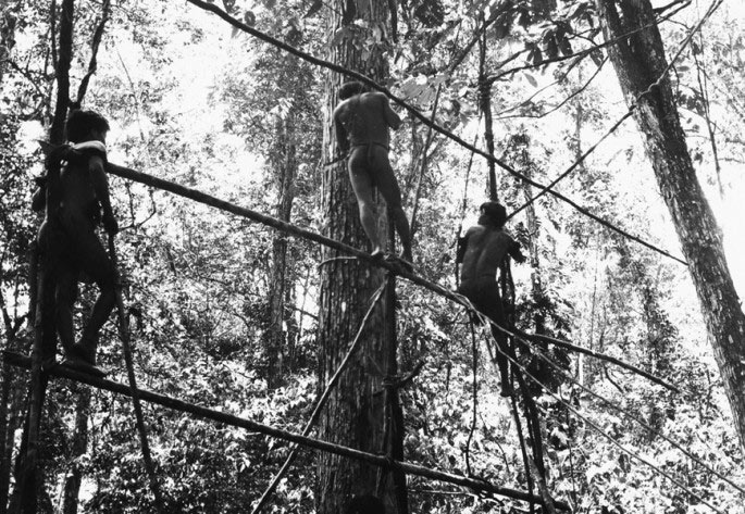
The word "yano" means house, and reflects the central importance of shelter as a distinguishing feature of Yanomami culture. With materials from the forest, the Yanomami build communal houses called shabonos. They are circular, with an outer wall and overlapping lean-to roofs around a central clearing.
Sustenance
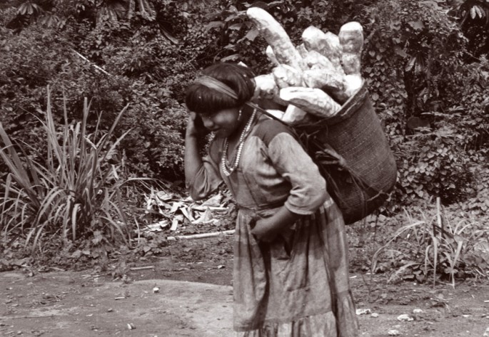
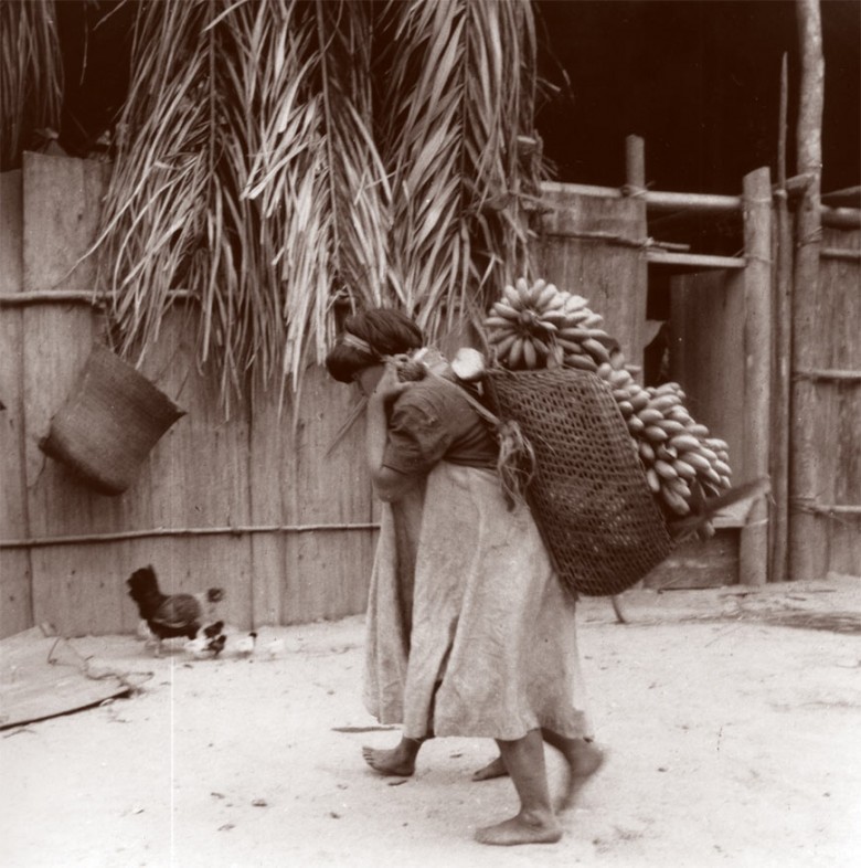
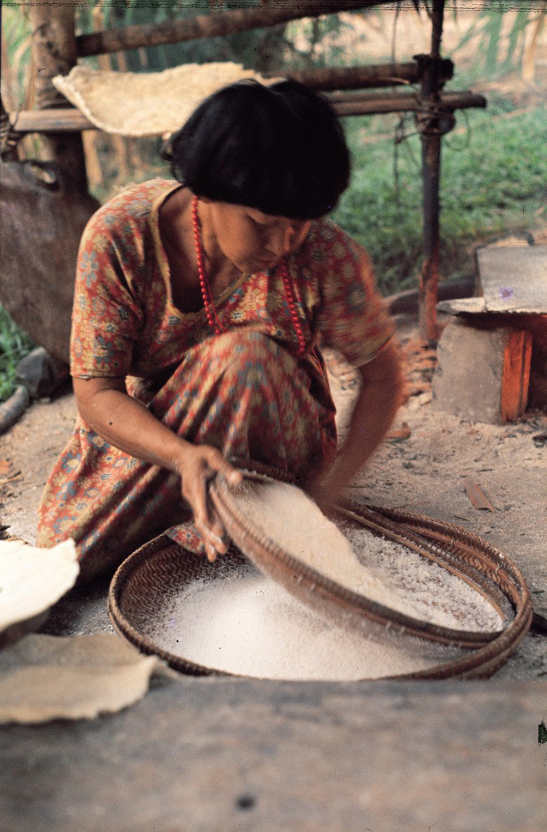
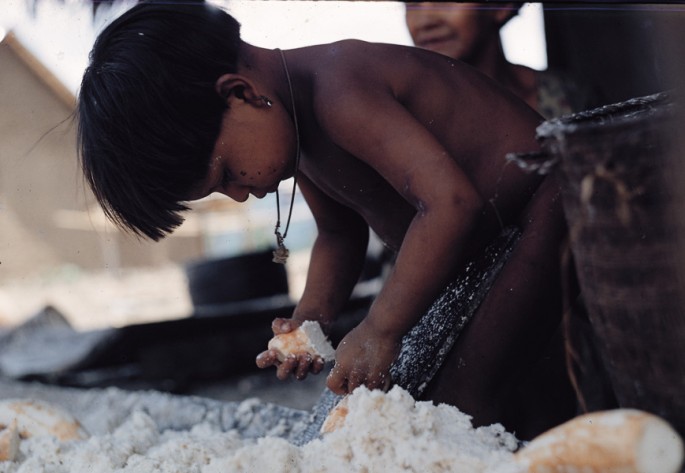
The Yanomami rely on produce from their gardens and food gathered from the forest.
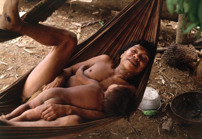
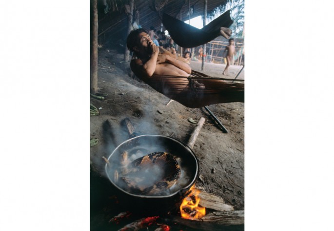
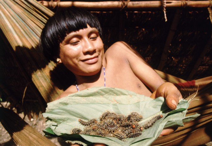
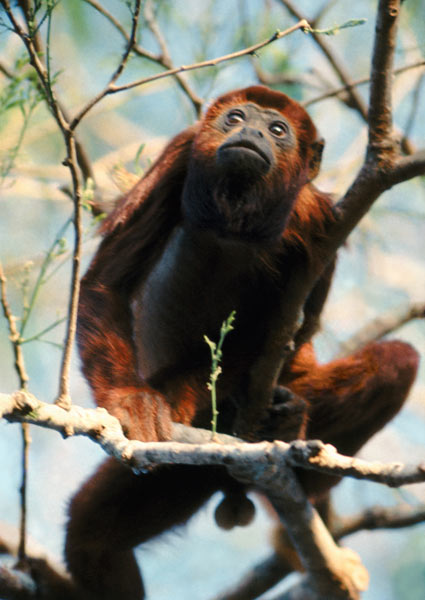
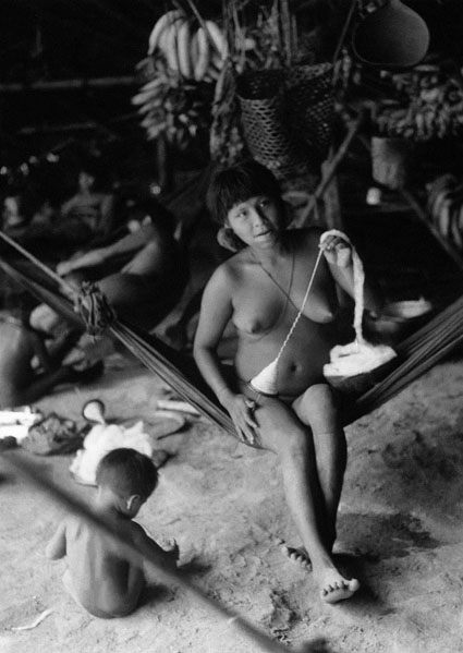
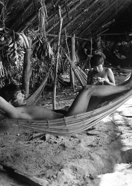
People cook, eat, sleep, and perform rituals within the protection of their shabono homes. Yanomami sleep in hammocks, and children sleep with their mothers until they are four. Each family has a central hearth for cooking, around which they suspend the hammocks. Yanomami eat a wide variety of foods, from snakes, pigs, monkeys, deer, and jaguars to insects, fish, plantain, sweet potato, and palm fruits.
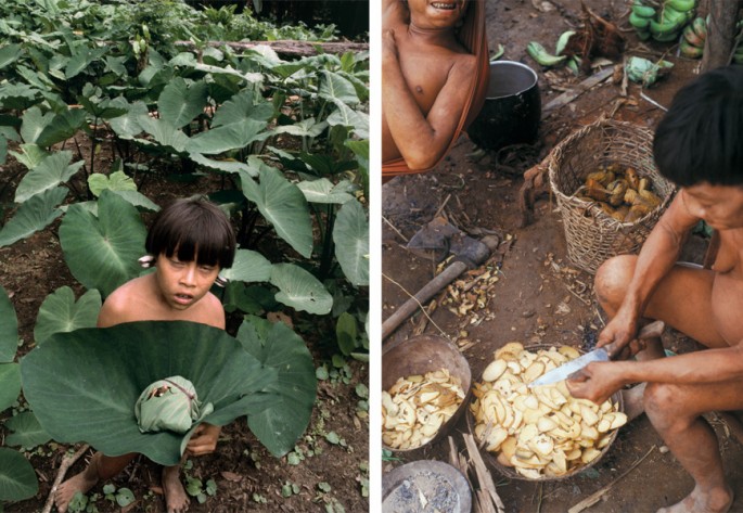

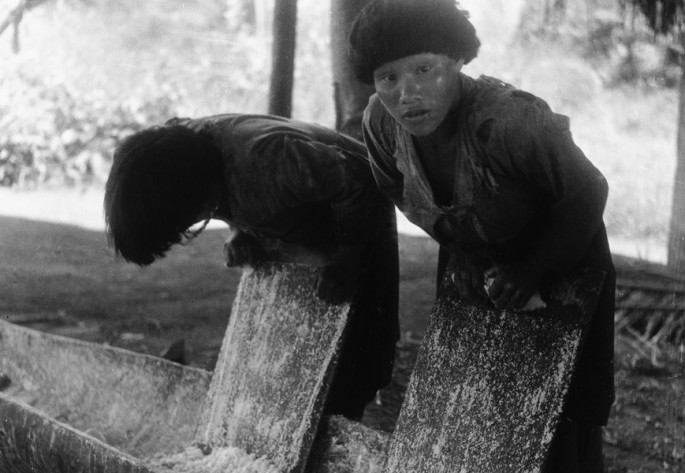
The Yanomami communities cultivate simple conuco gardens near their shabonos where they grow food crops, like plantains, sweet bananas, and tropical tubers; and cotton, tobacco, and plants used for rituals and as dyes. Men clear and burn the land in preparation for the garden, and both men and women plant and harvest crops.

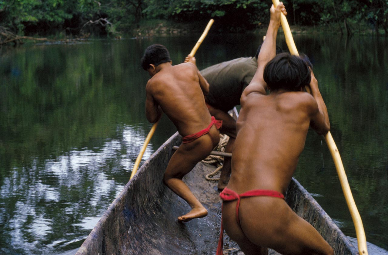
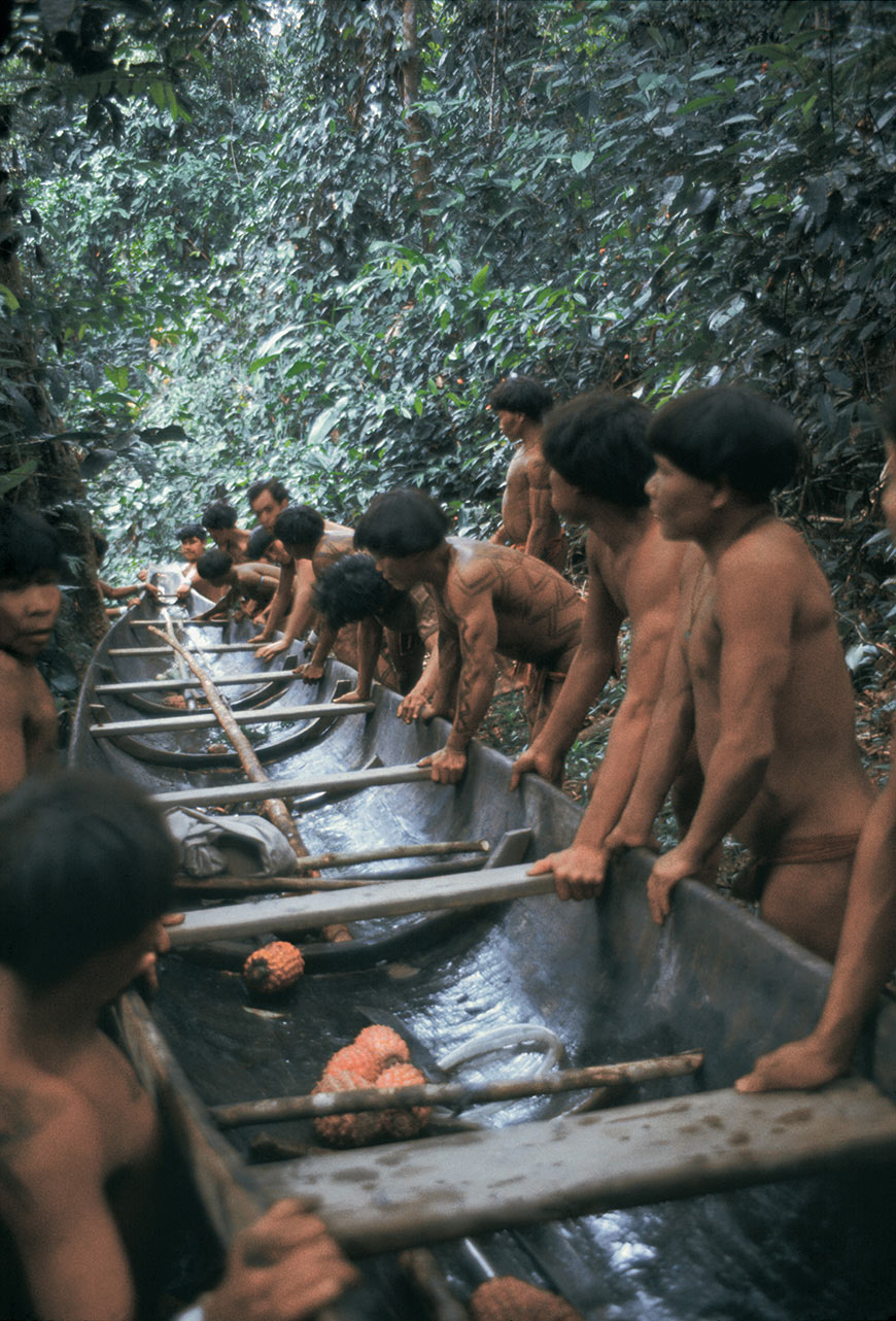
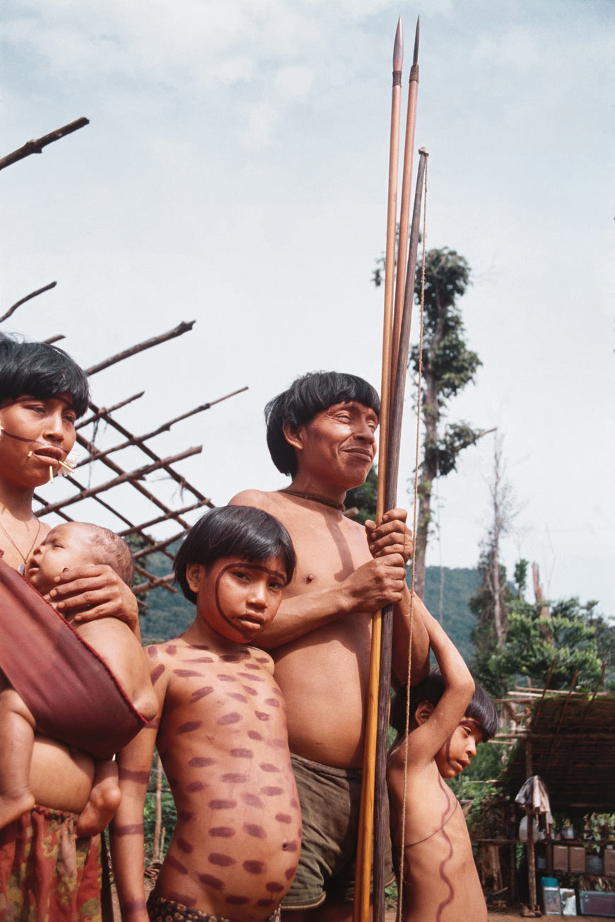
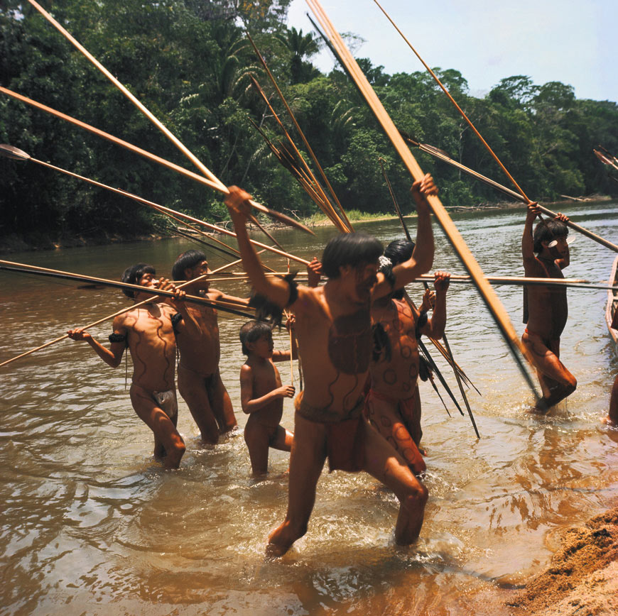
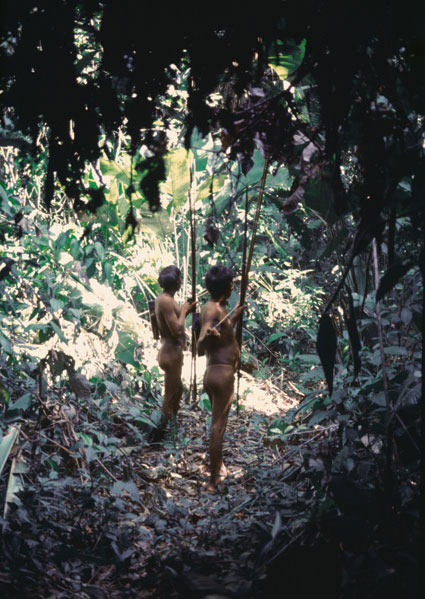
Although agriculture is important to the Yanomami, hunting and fishing are also significant sources of food. The Yanomami distinguish between two types of hunting. One is known as ramï, which provides them with meat for everyday use, and the other is heniyomou, which is performed collectively by all the men of a community for celebrations and special guests.
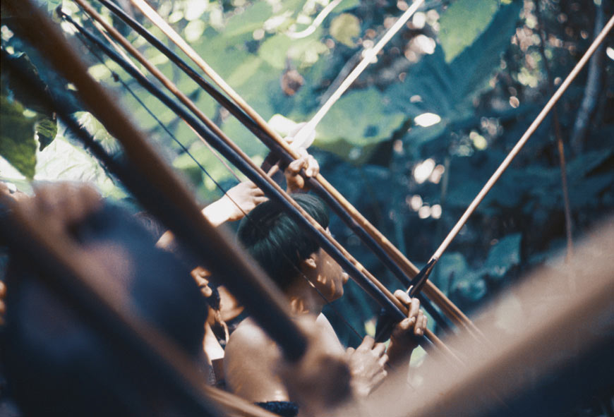
Heniyomou, a hunt that lasts for several days, is practiced for special feasts. Almost all of the men of the community participate in the heniyomou, while the women and girls remain in the village to perform the ritual hëri, in which they sing and dance to placate the game and entice it to surrender to the hunters.
Ritual and Tradition
The Yanomami structure their society with rituals and traditions that guide every aspect of their lives.
One of the occasions that requires the type of hunting known as heniyomou is the funeral of a member of the group. When a Yanomami dies, the entire community weeps violently. Very soon after the death, a funeral pyre is erected in the shabono to burn the body. In the ritual known as reahu, the ashes of the dead are ground in a mortar and ingested by the community.
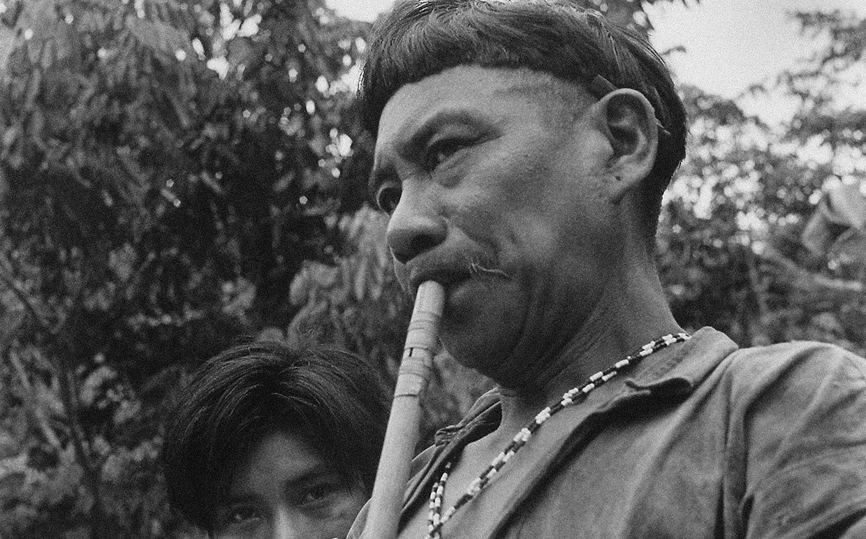
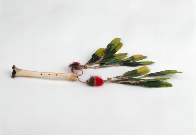
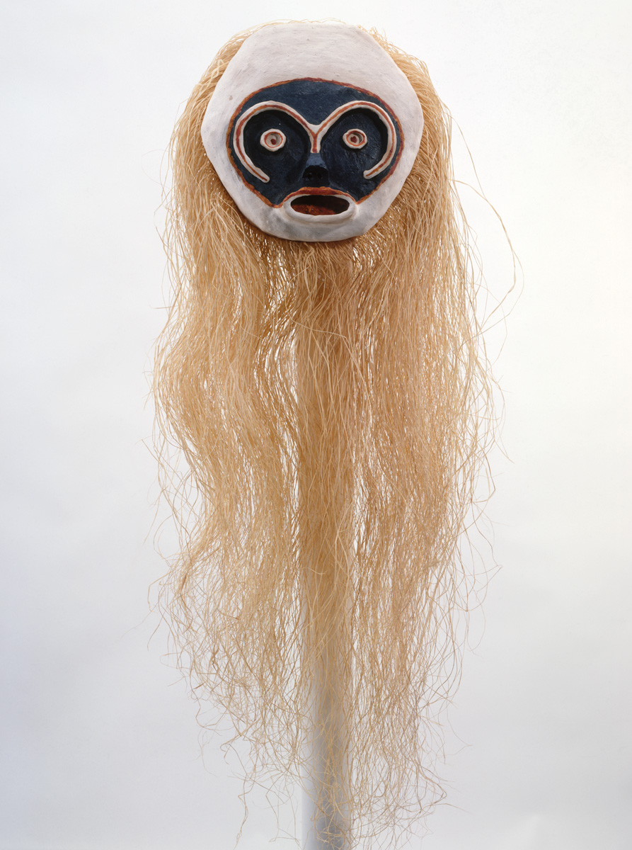
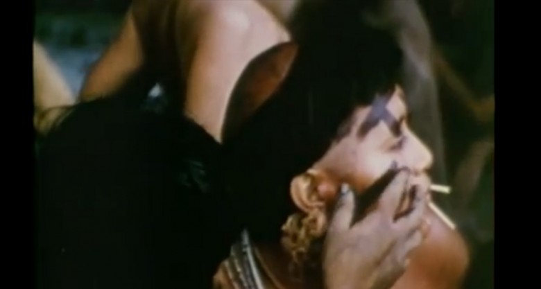
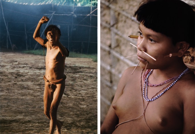
Yanomami frequently consume yopo, a hallucinogen, during ritual ceremonies. From around the age of seven, Yanomami habitually tuck wads of tobacco between their lower teeth and lip. Stimulants allow the Yanomami to get in touch with the world of the supernatural, to cure illnesses, and pass on their collective memory.
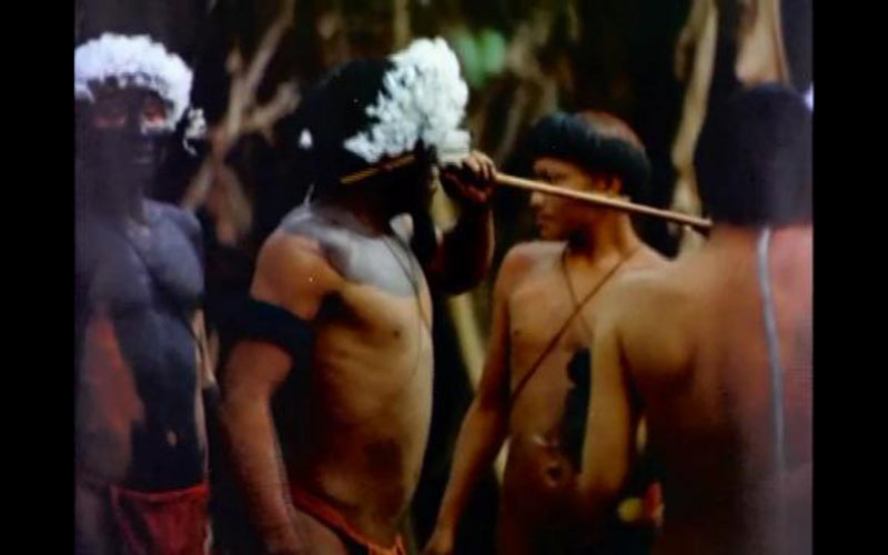
Each village has at least one shaman, who is the spiritual leader and healer. At some stage in their lives, almost all men undergo the initiation rite to become a shaman. The initiation period takes months, or even years. Under the influence of the drug yopo, the novice submits to the instructions of the teacher.
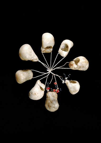
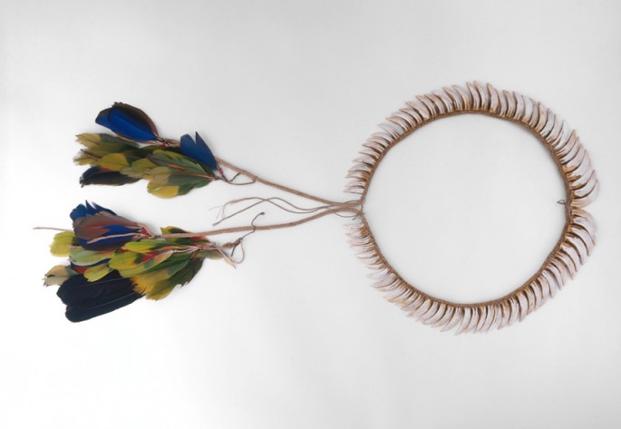
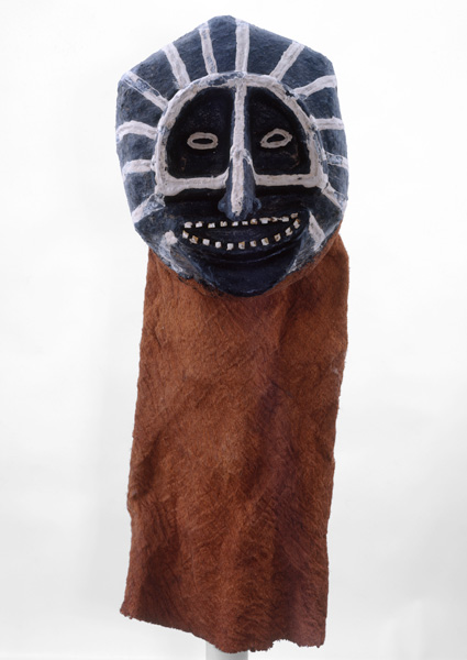
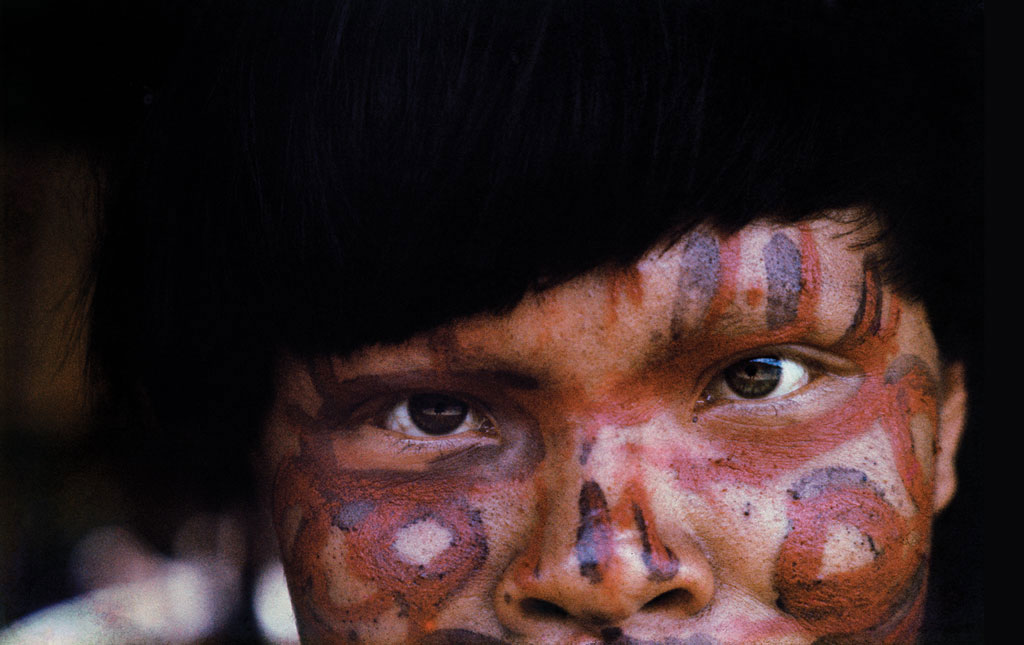
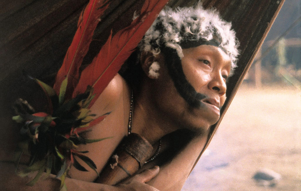
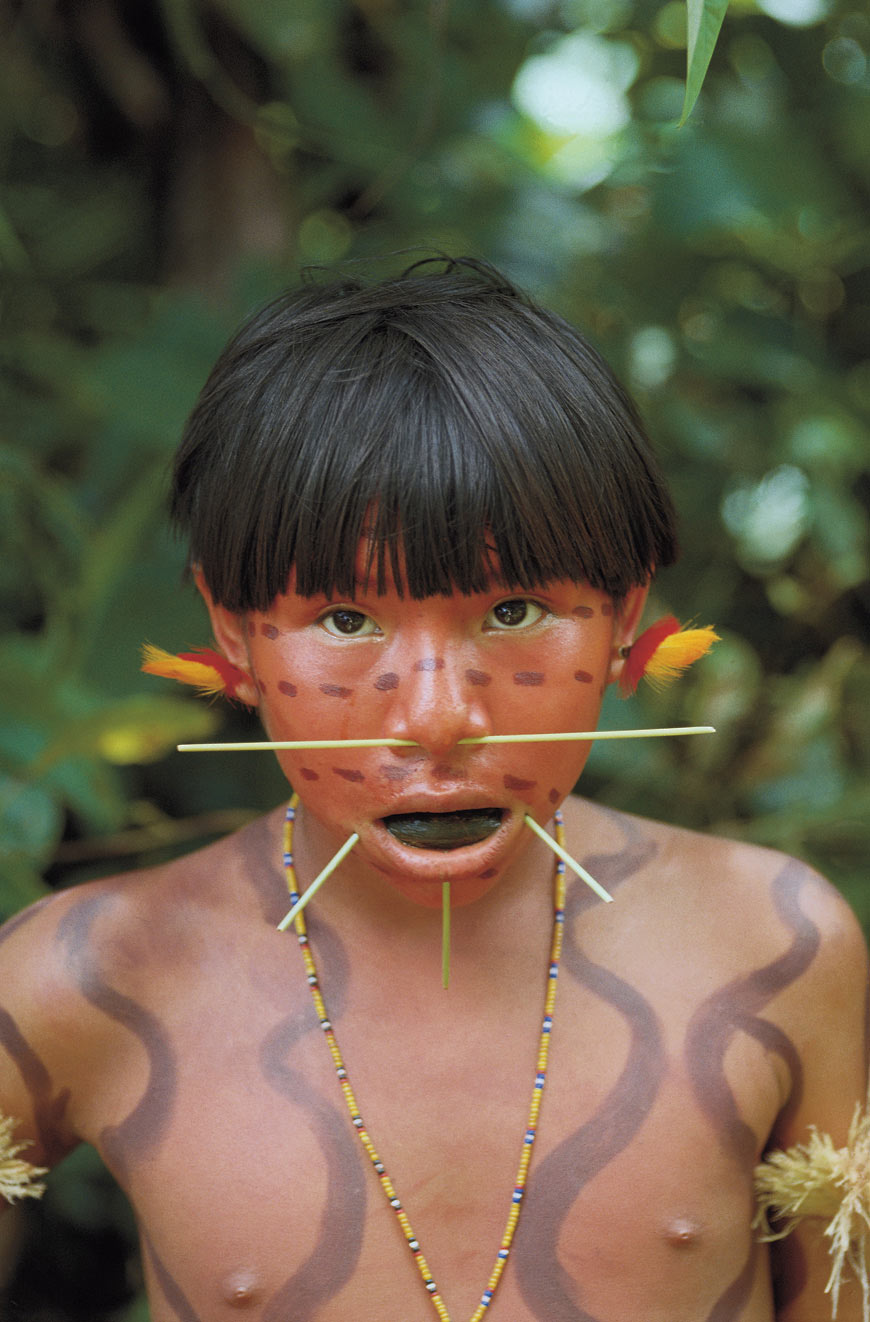
In mourning, a Yanomami woman wears black paint on her cheeks for a year before she can use red again. When men go to war, they wear black body paint to symbolize night and death. For some festivals, the Yanomami apply white clay over their bodies. Body painting with a variety of dyes is common; in addition to black and white, they generally use anoto for red, and for purple, they combine the onoto with a resin called caraña.
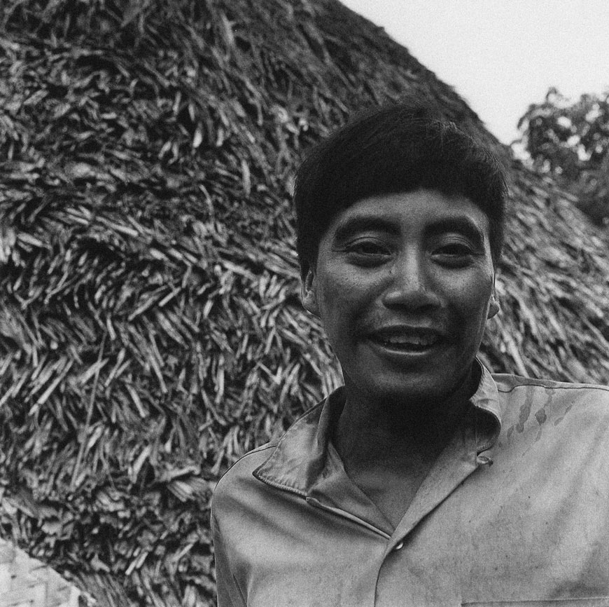
 Yanomami man and woman.
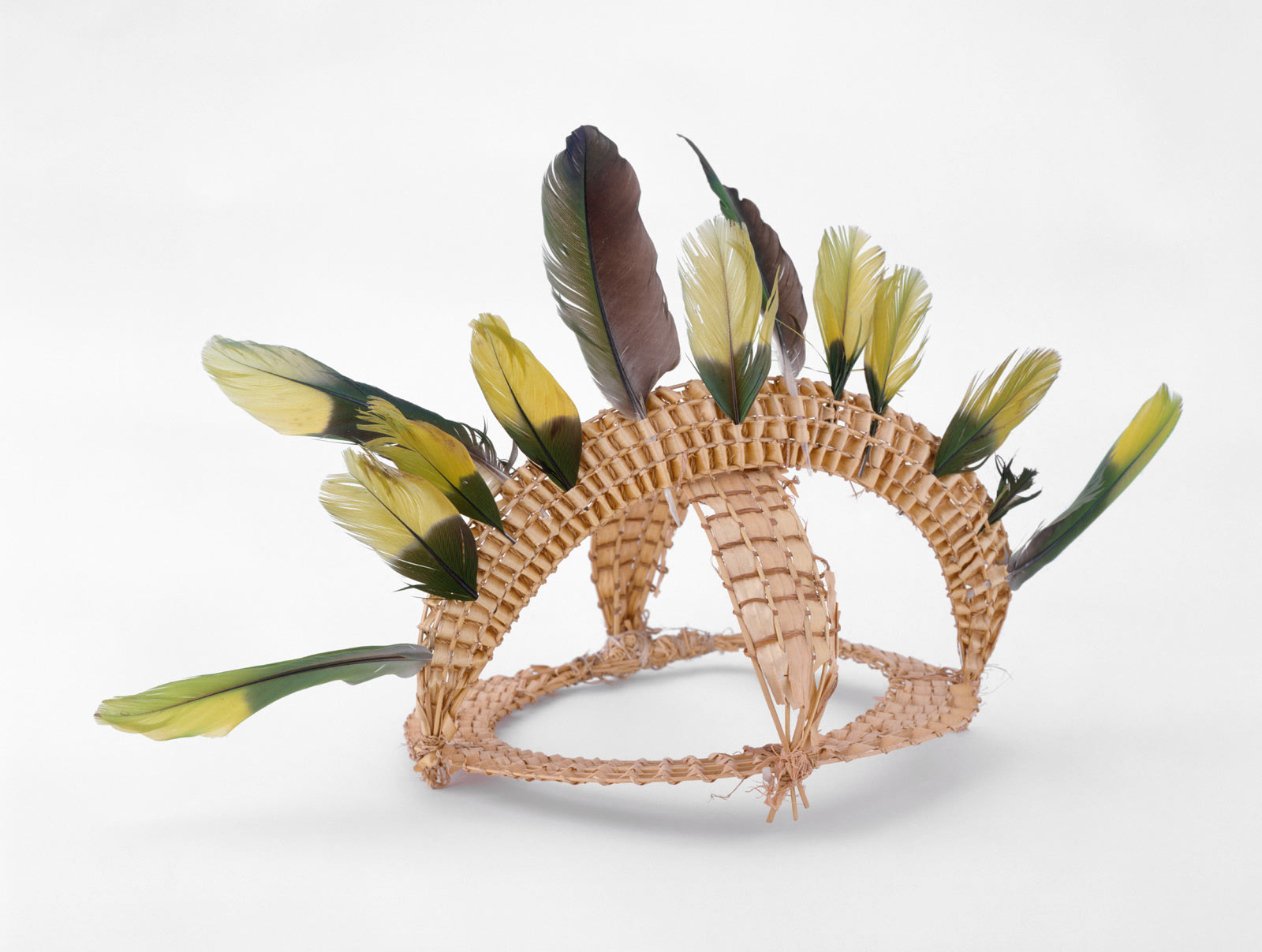
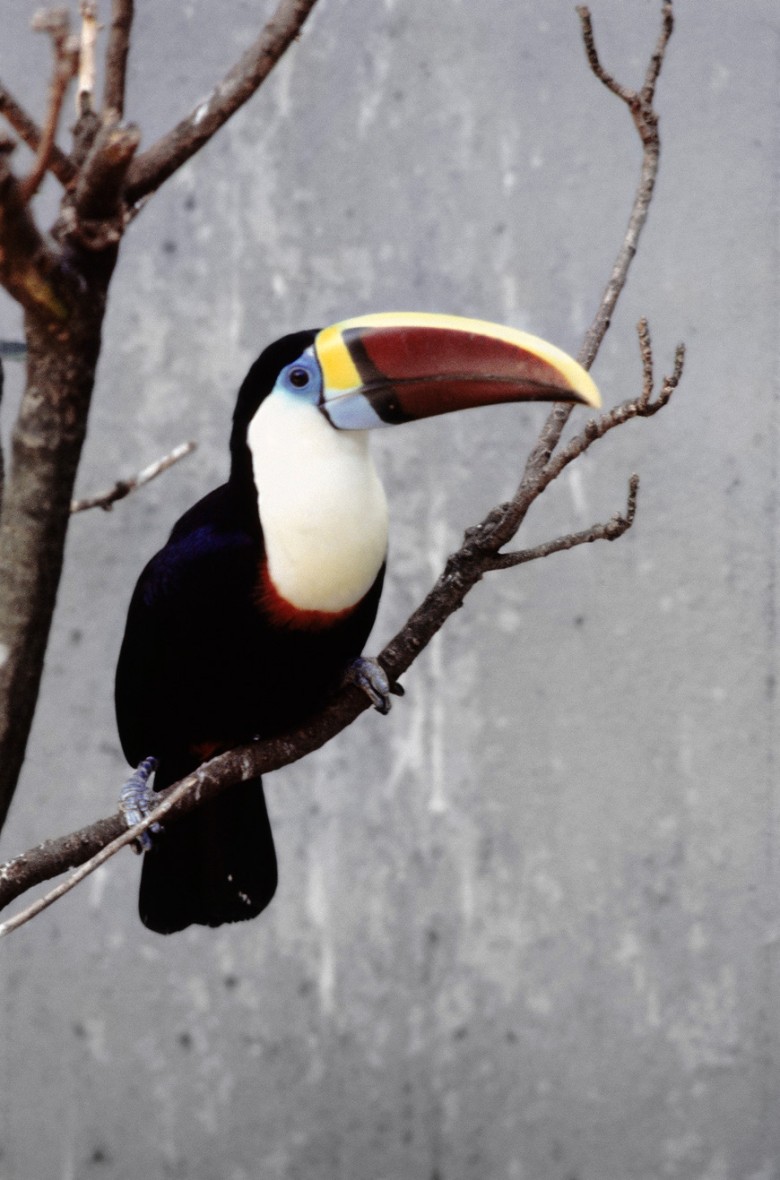
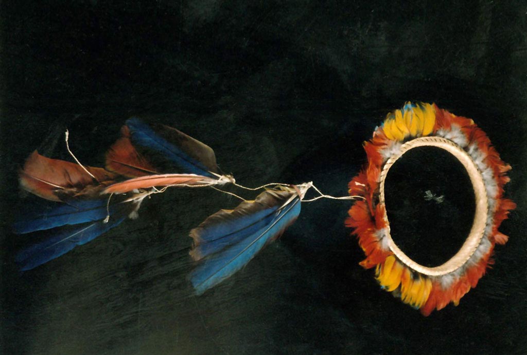
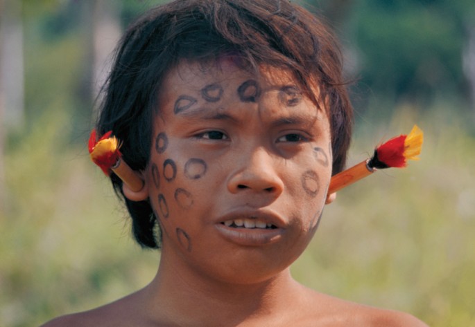 A Yanomami boy with ear rings made from toucan feathers.
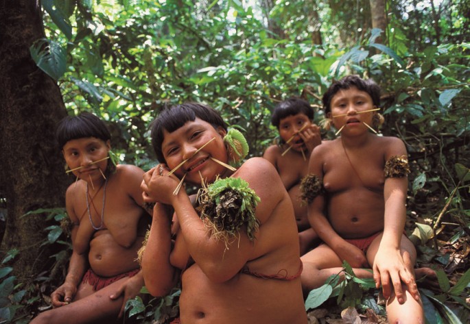 A group of Yanomami women.
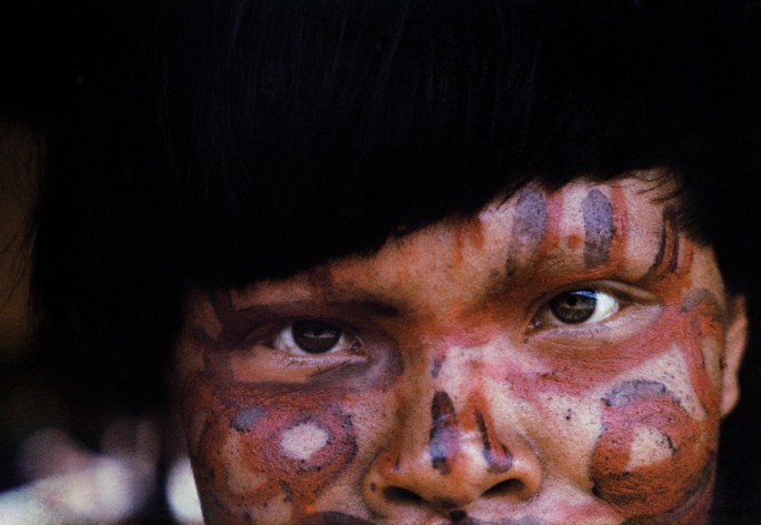 The face paint of this indigenous man from the Erebato river represents a fierce tiger (Jaguar).
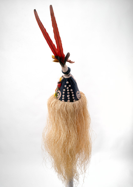
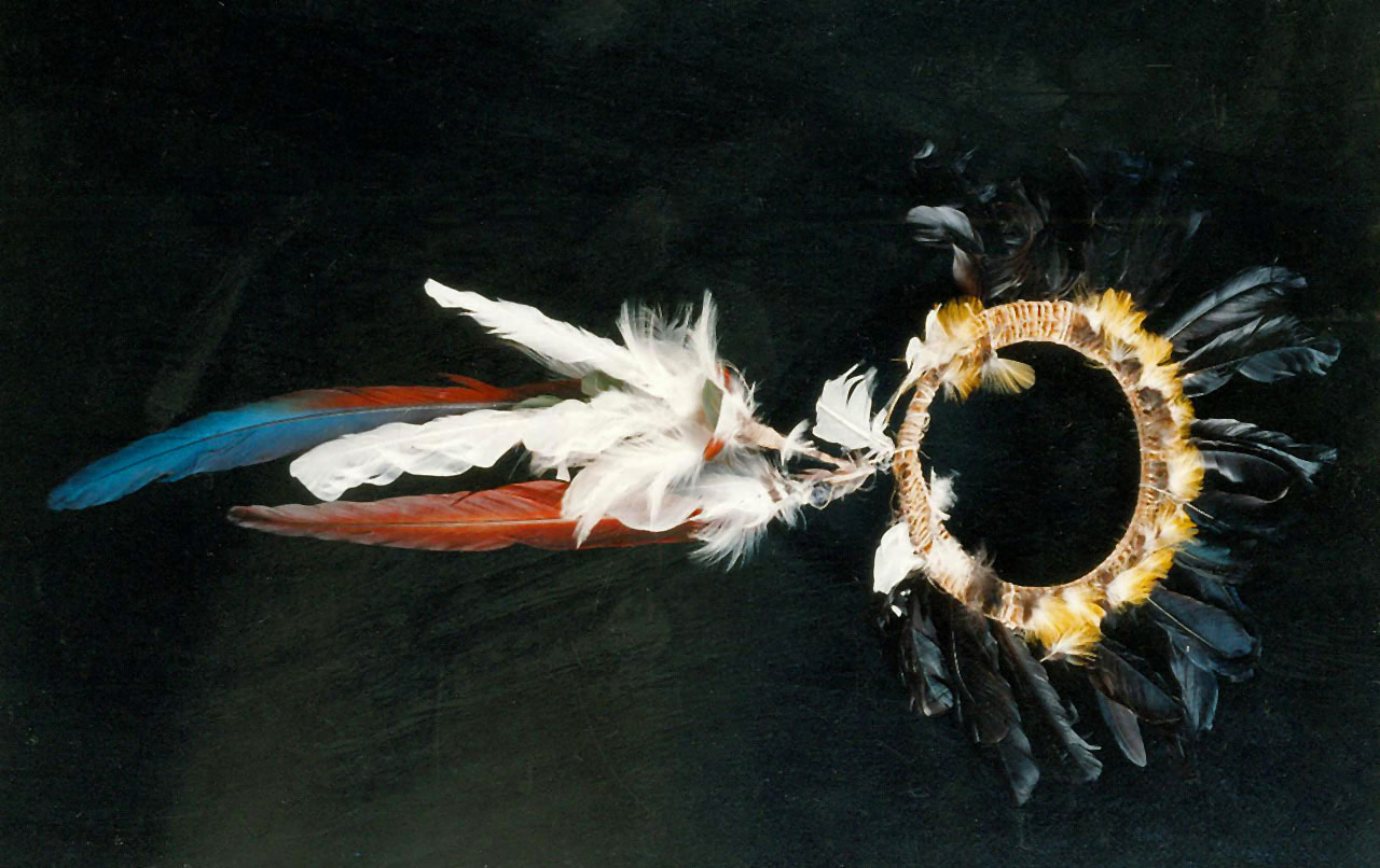
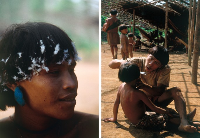 Left, a visiting Yanomami warrior wears the white feathers that show his peaceful intentions, and right, a man cuts a child's hair.
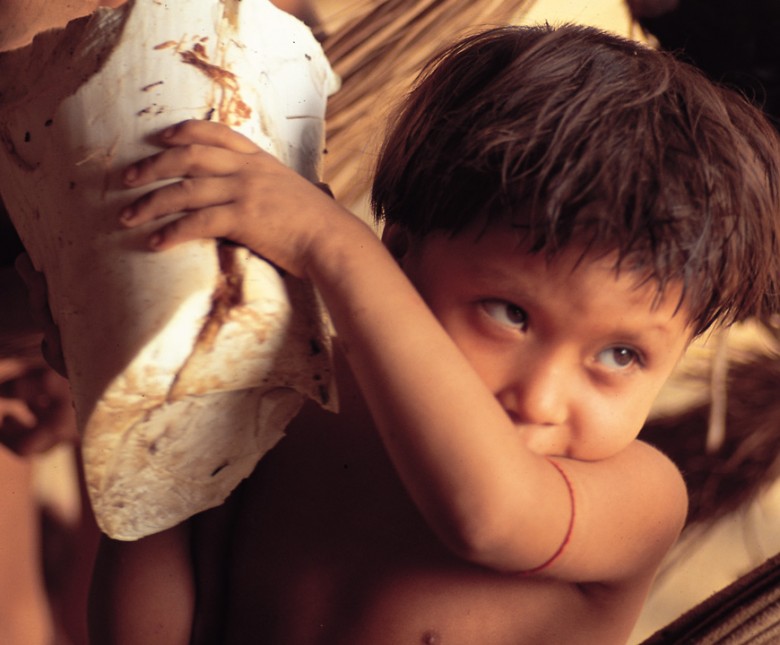
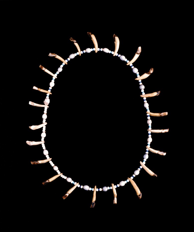
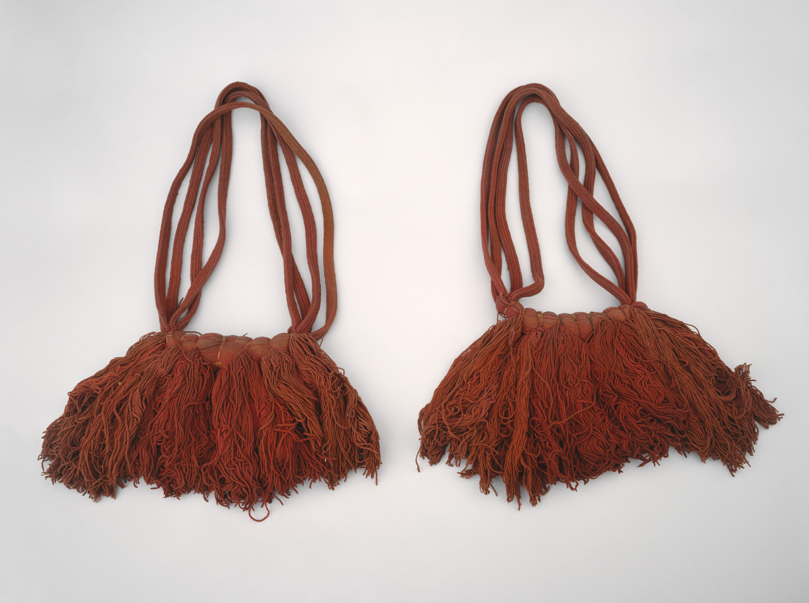
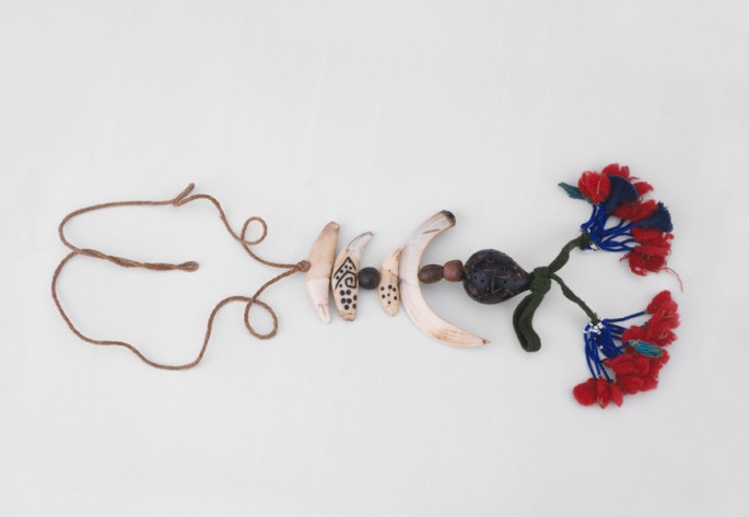
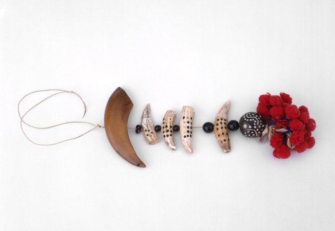
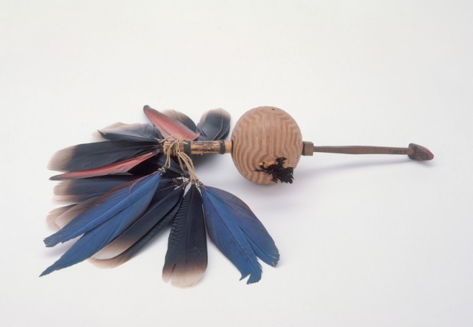
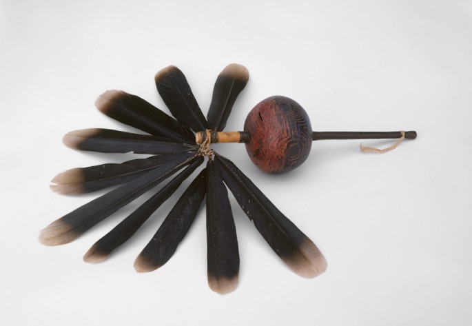
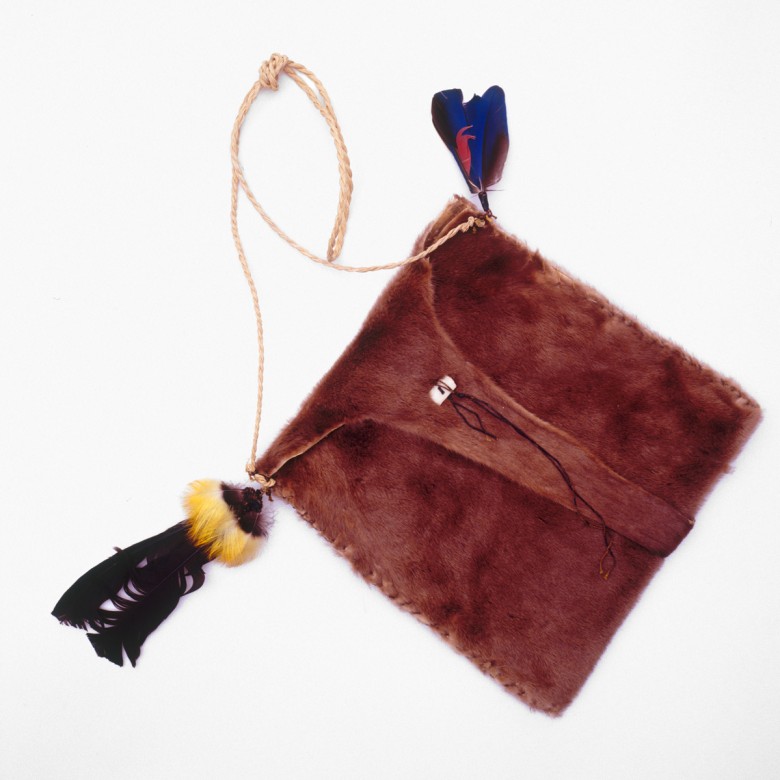
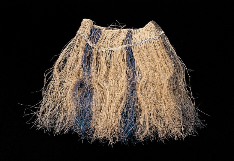
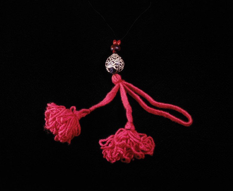
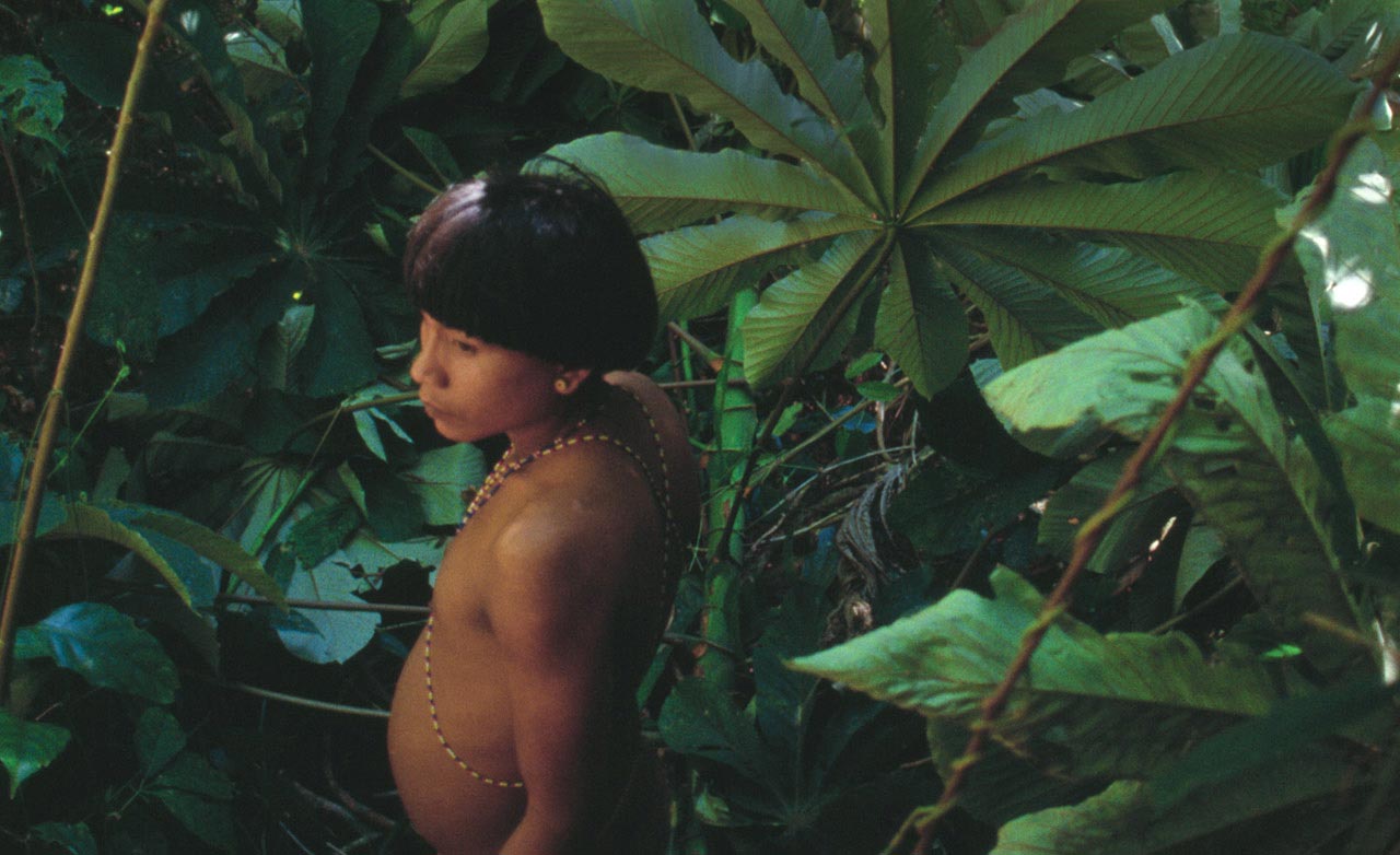
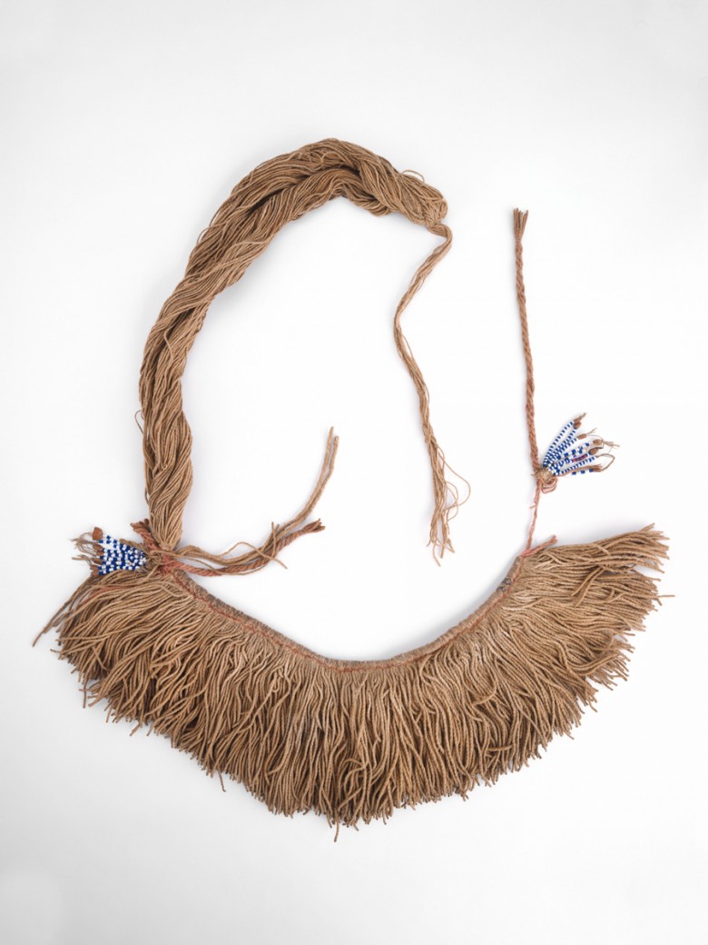
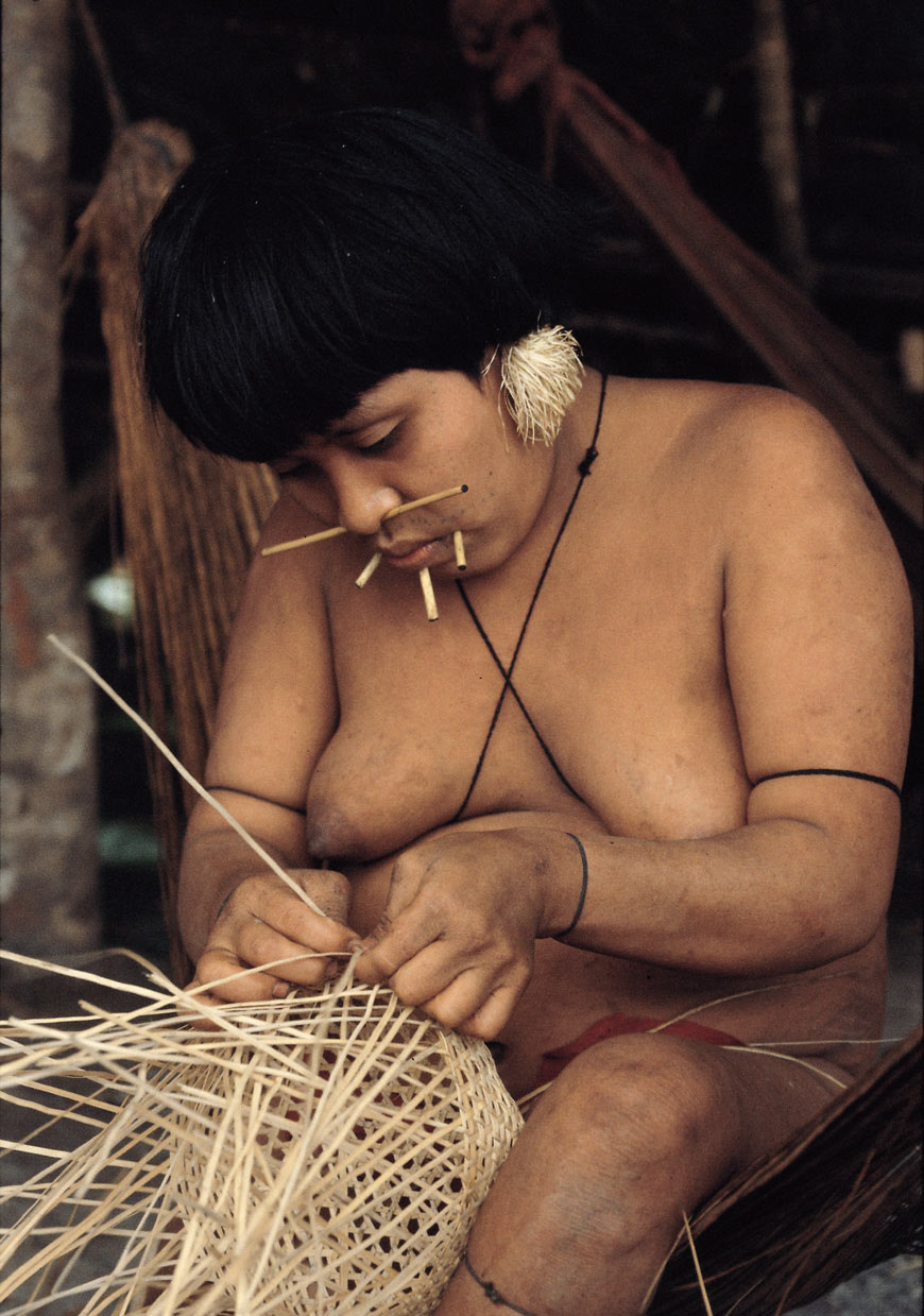
The Yanomami decorate their bodies with colors, patterns, and materials that vary according to the occasion, but traditionally wear no clothing. Men bind their foreskin with a cotton string tied around the waist in order to keep their penis upright and against the stomach. Women tie string around their upper arms and calves, and use cotton ornaments to decorate their hips and breasts.
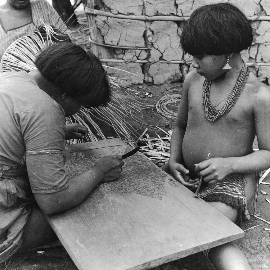
Fabrication
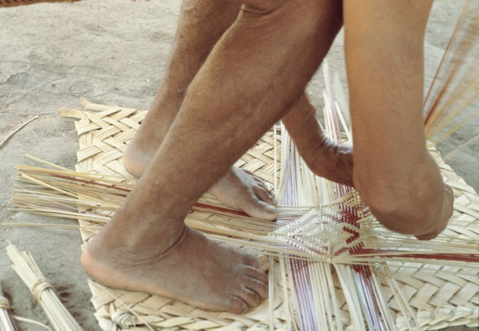
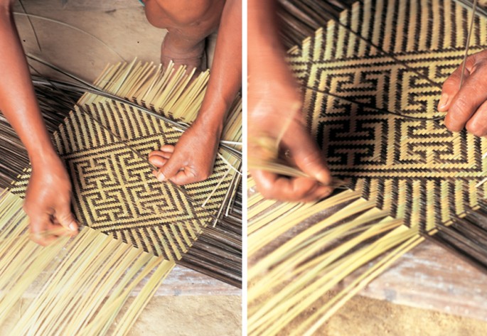
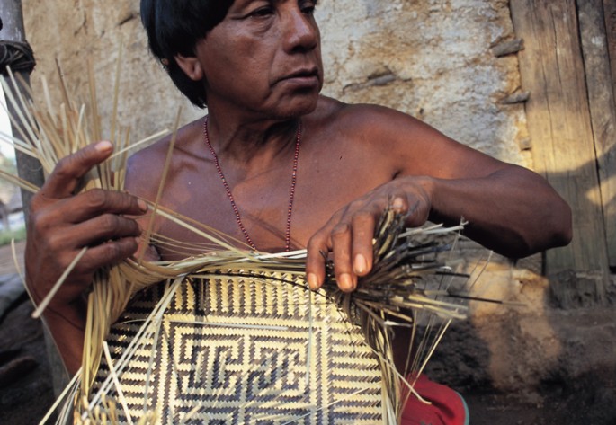
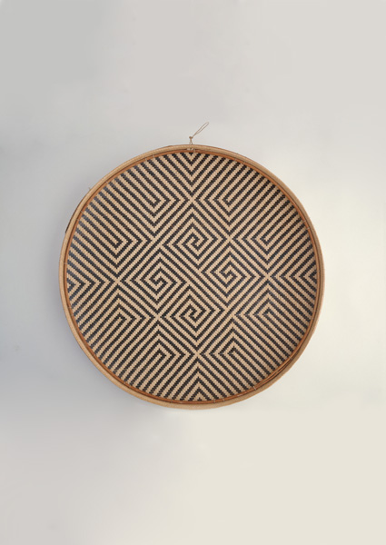
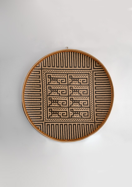
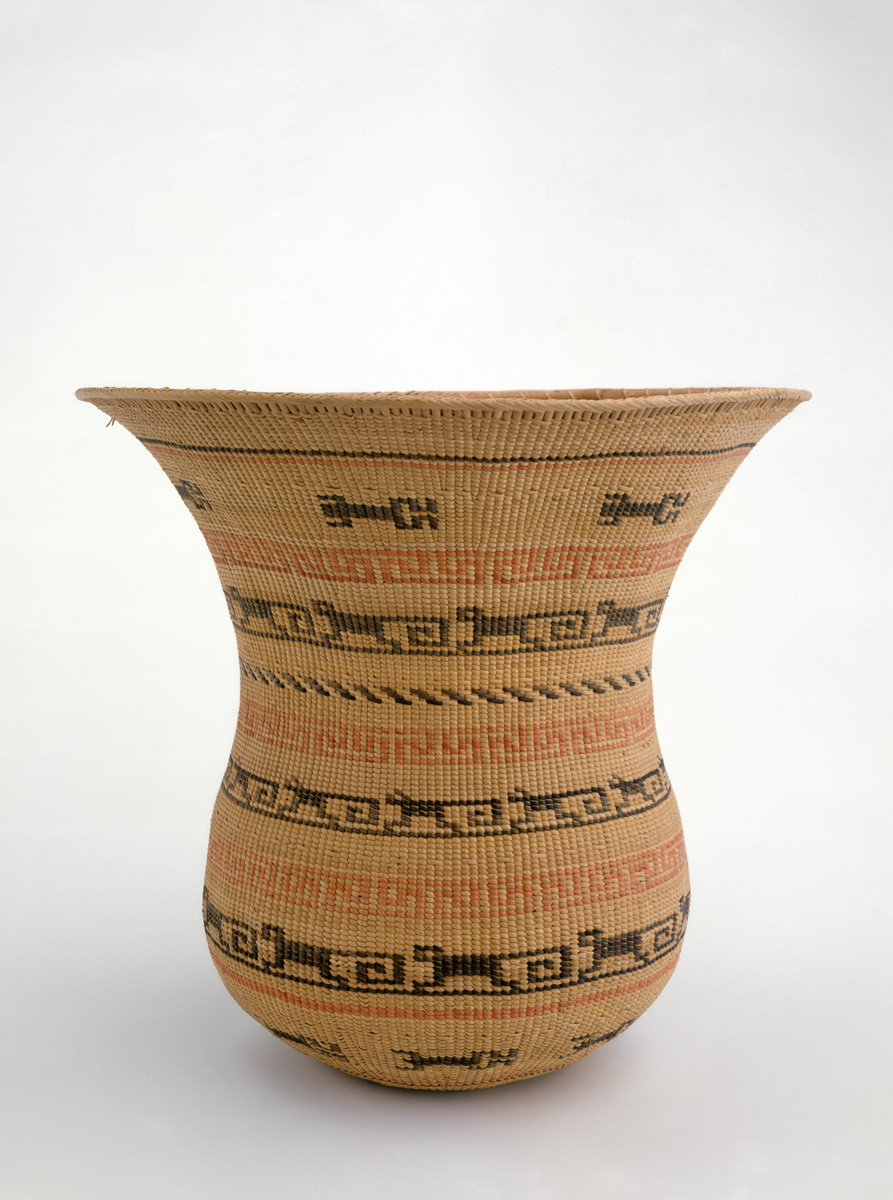
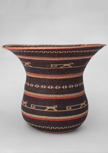
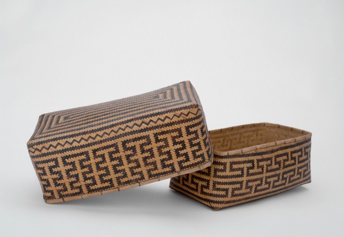
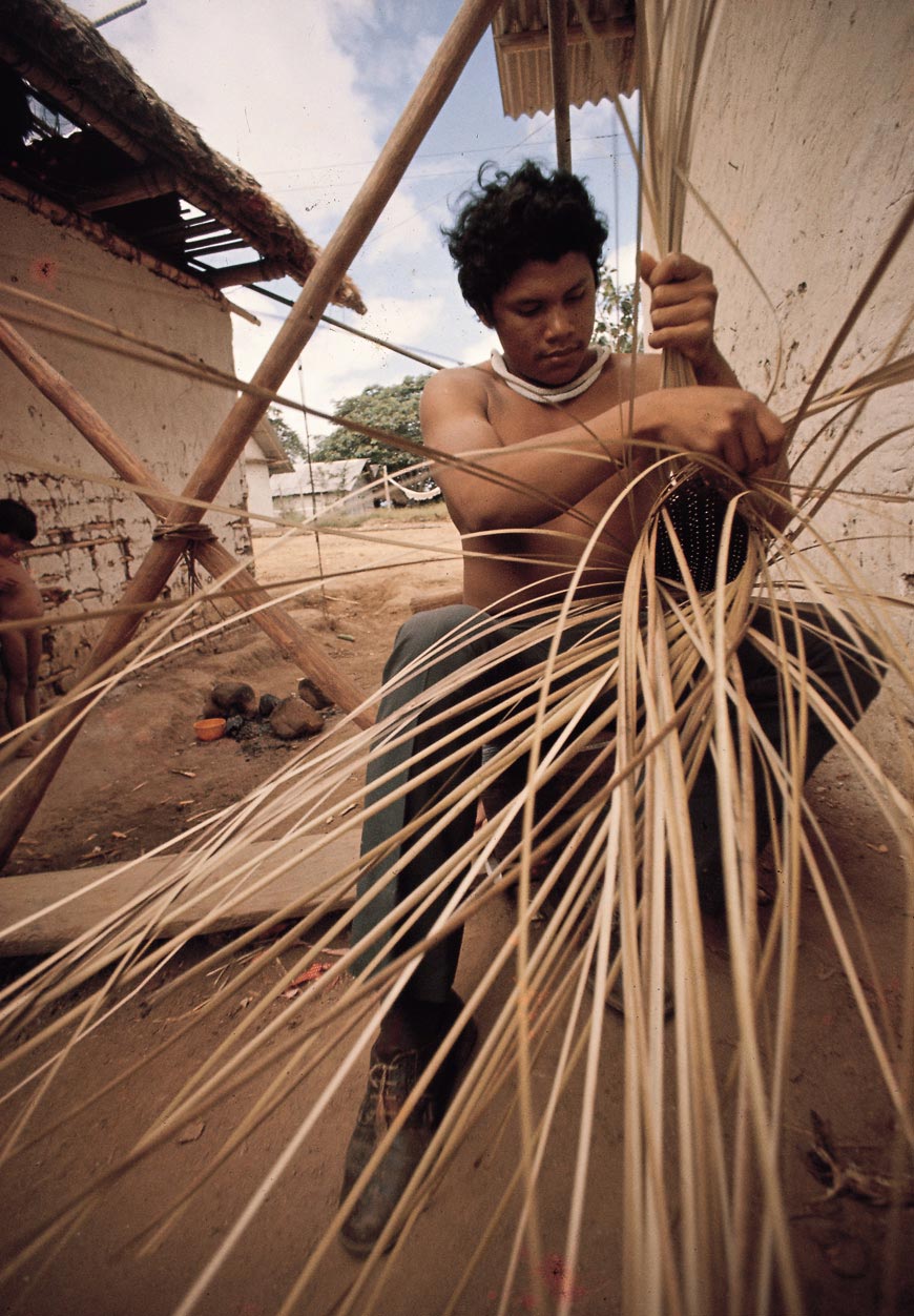
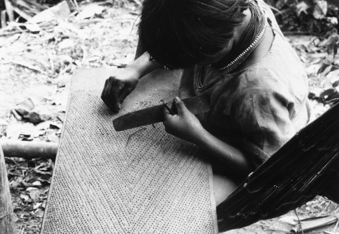
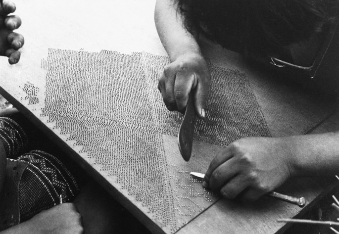
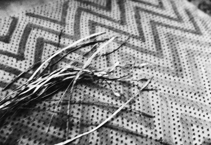
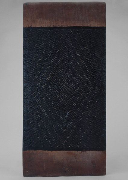
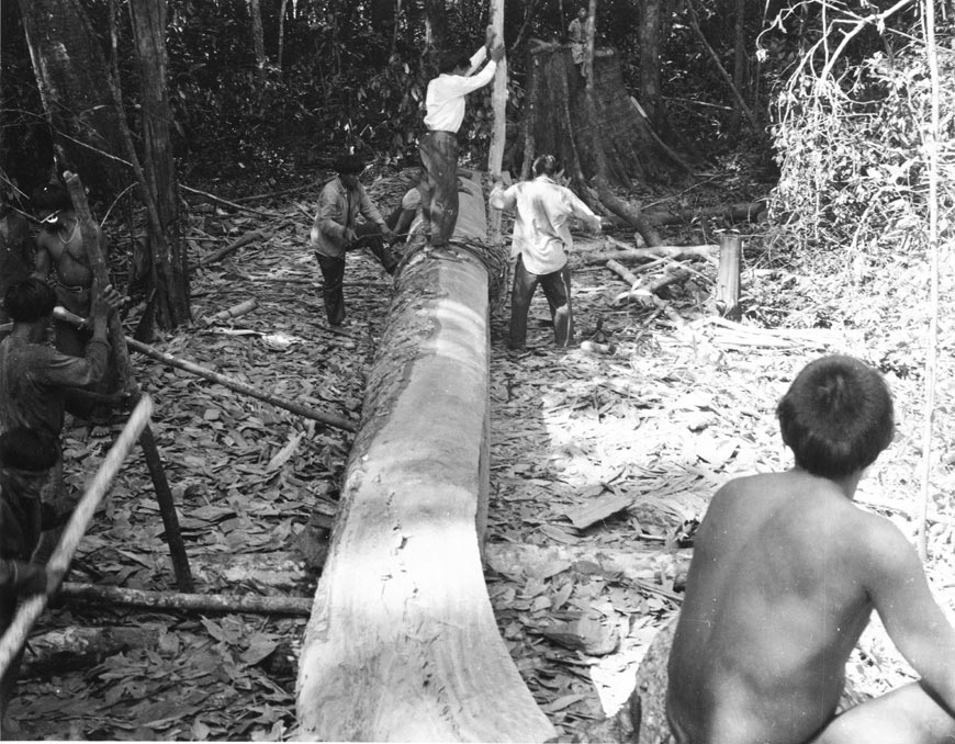
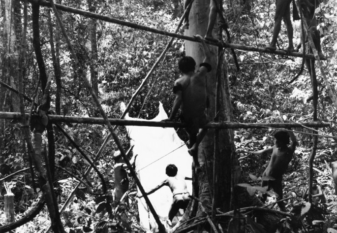
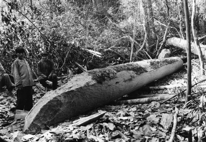
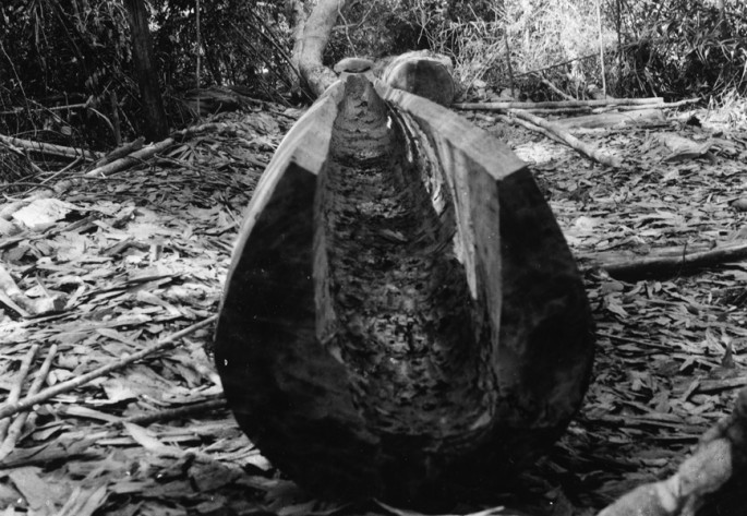
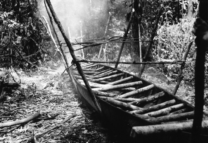
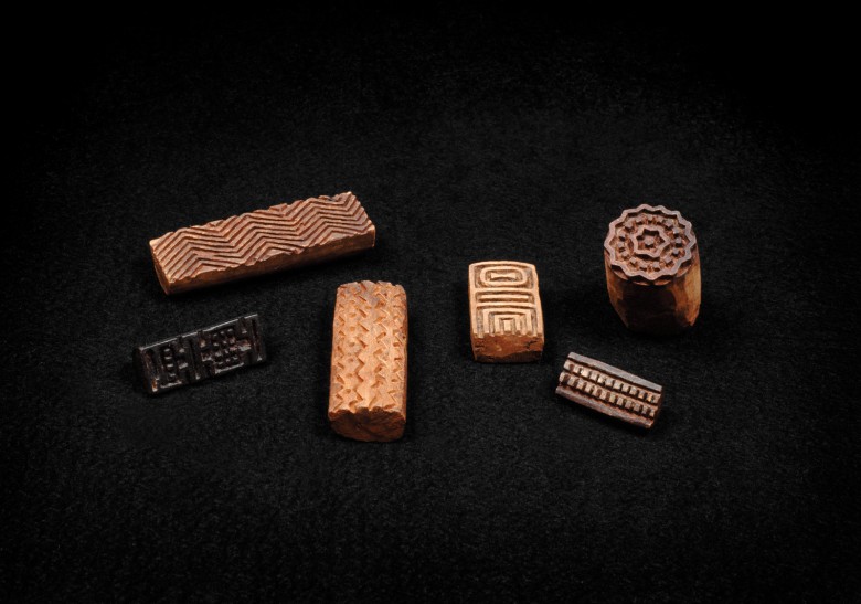
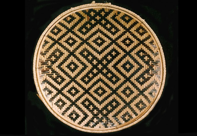
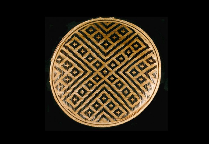
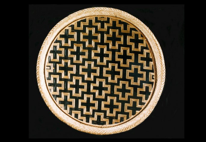
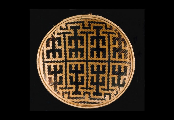
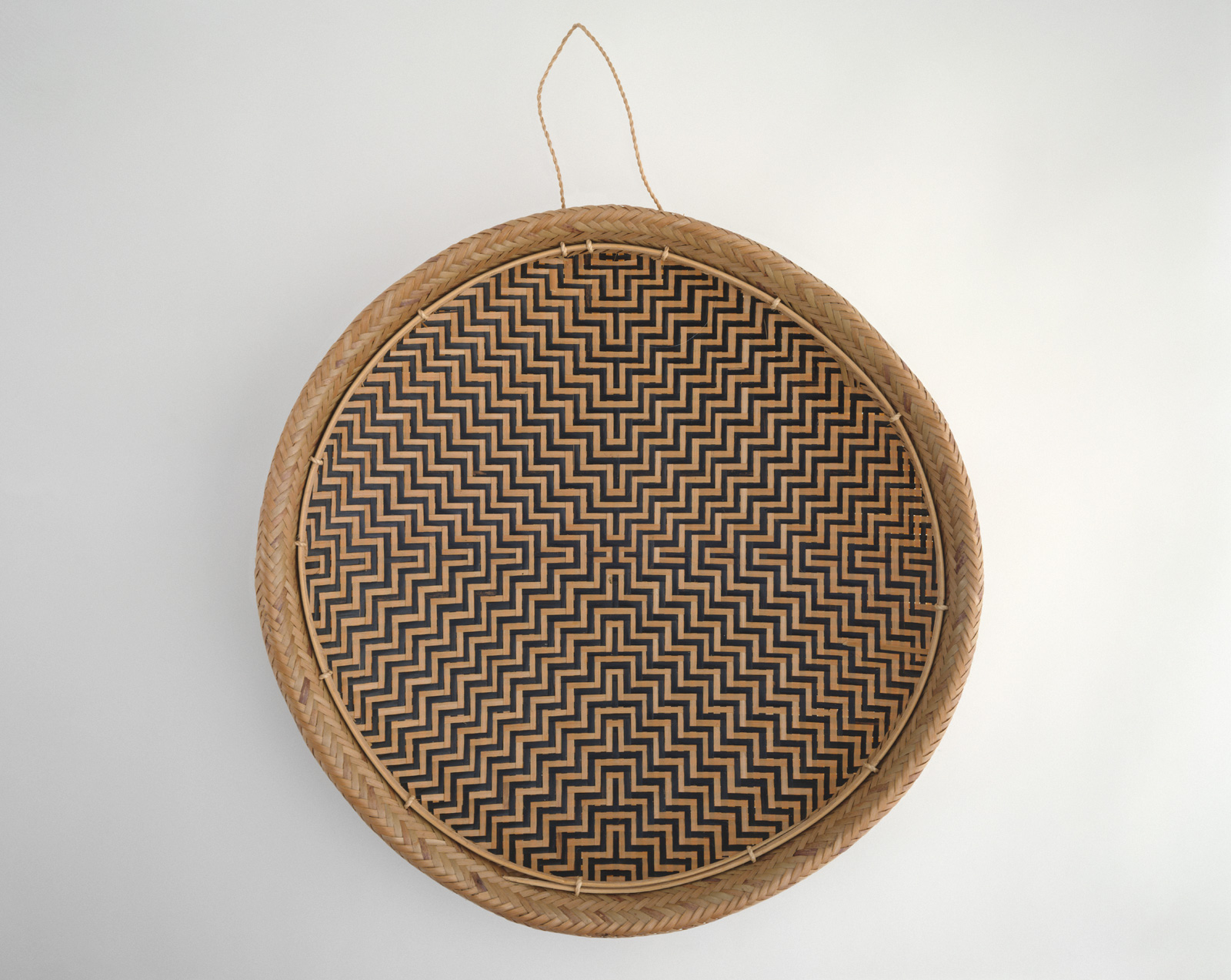
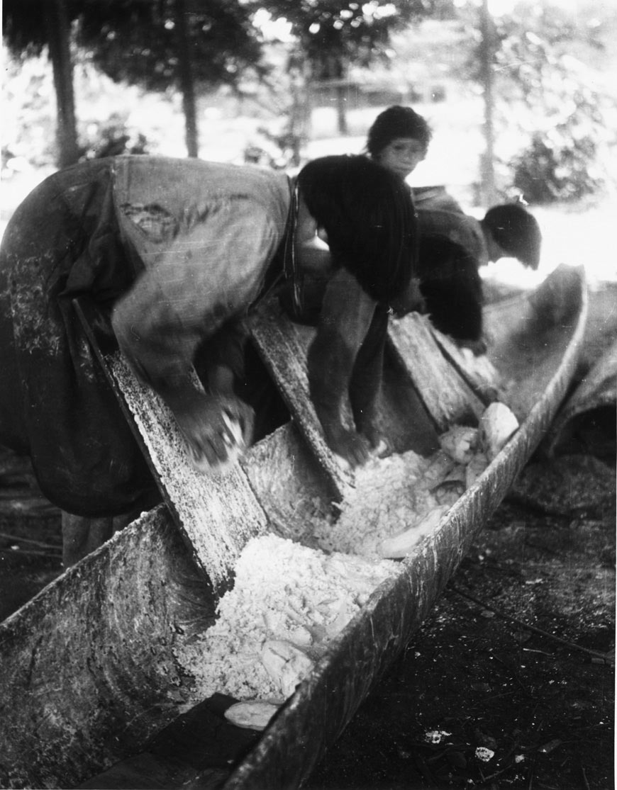
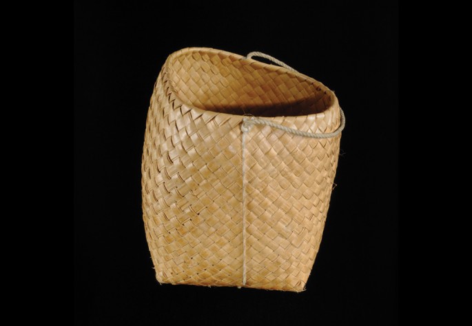
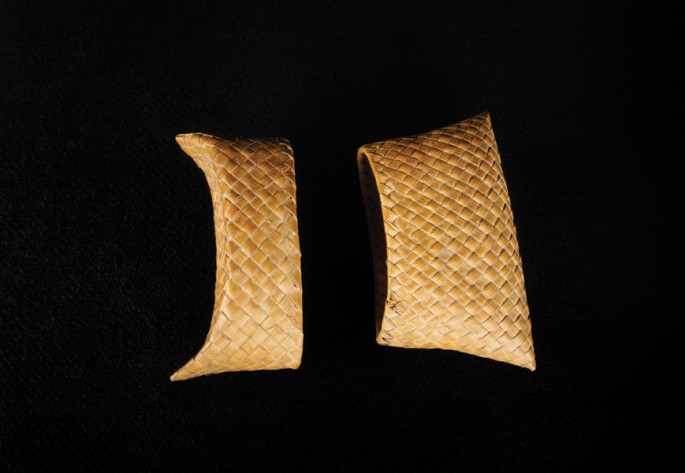
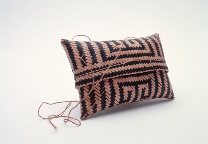
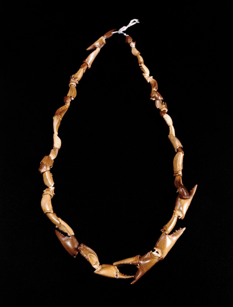
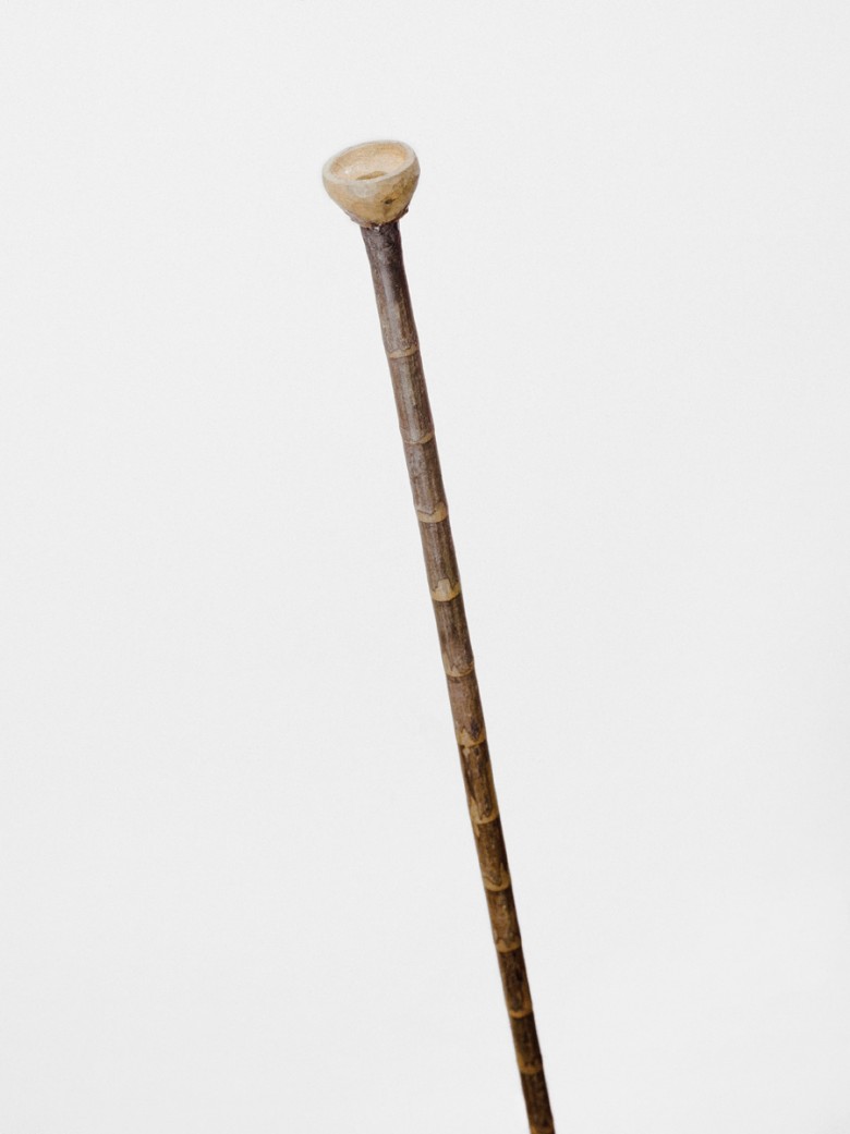
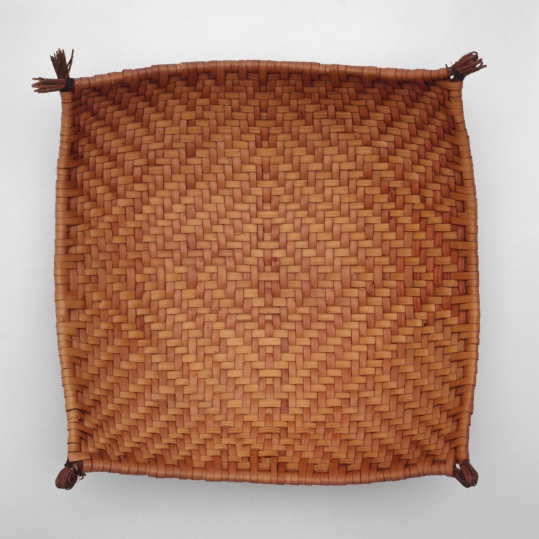
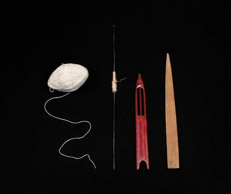
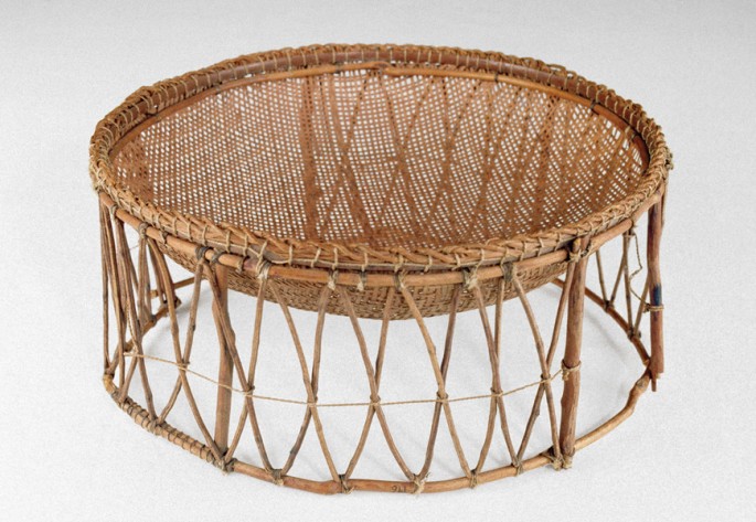
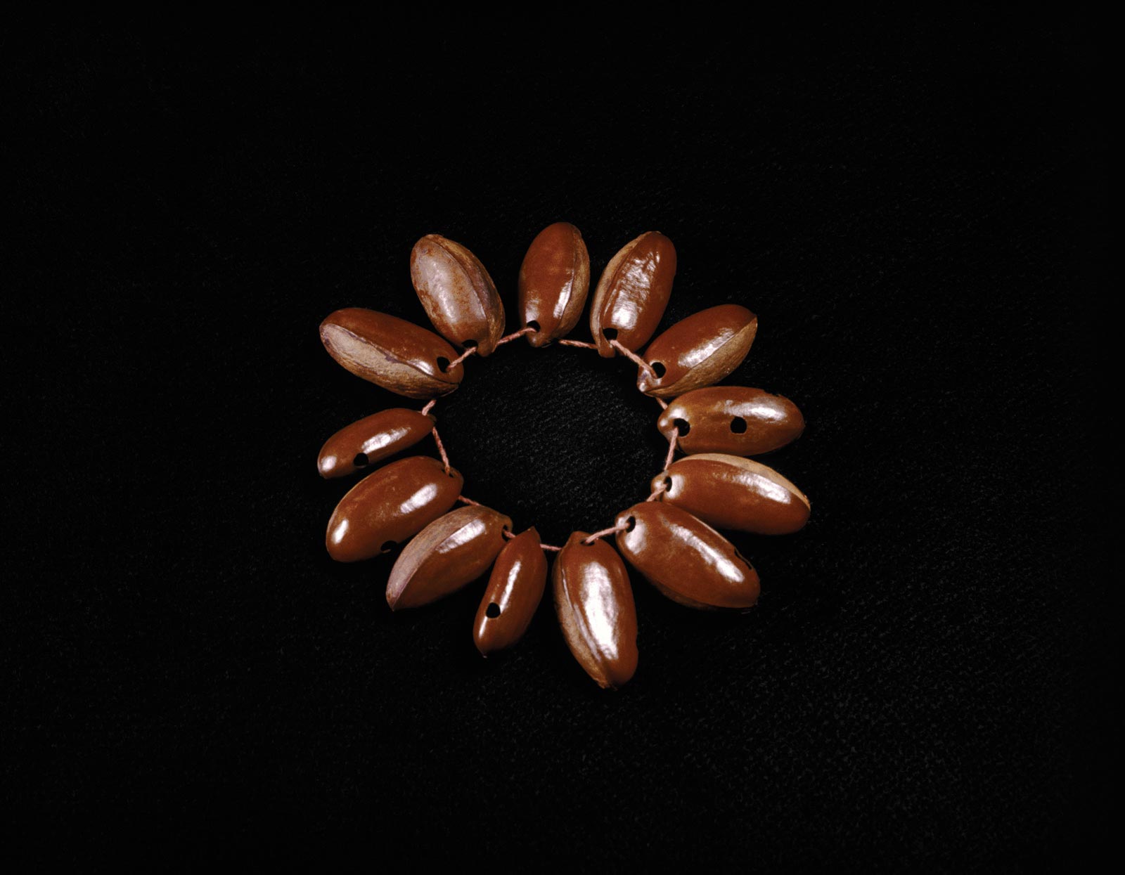
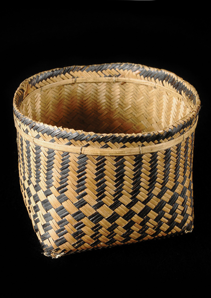
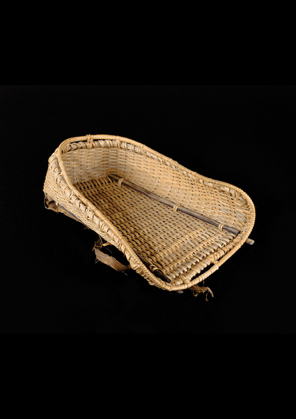
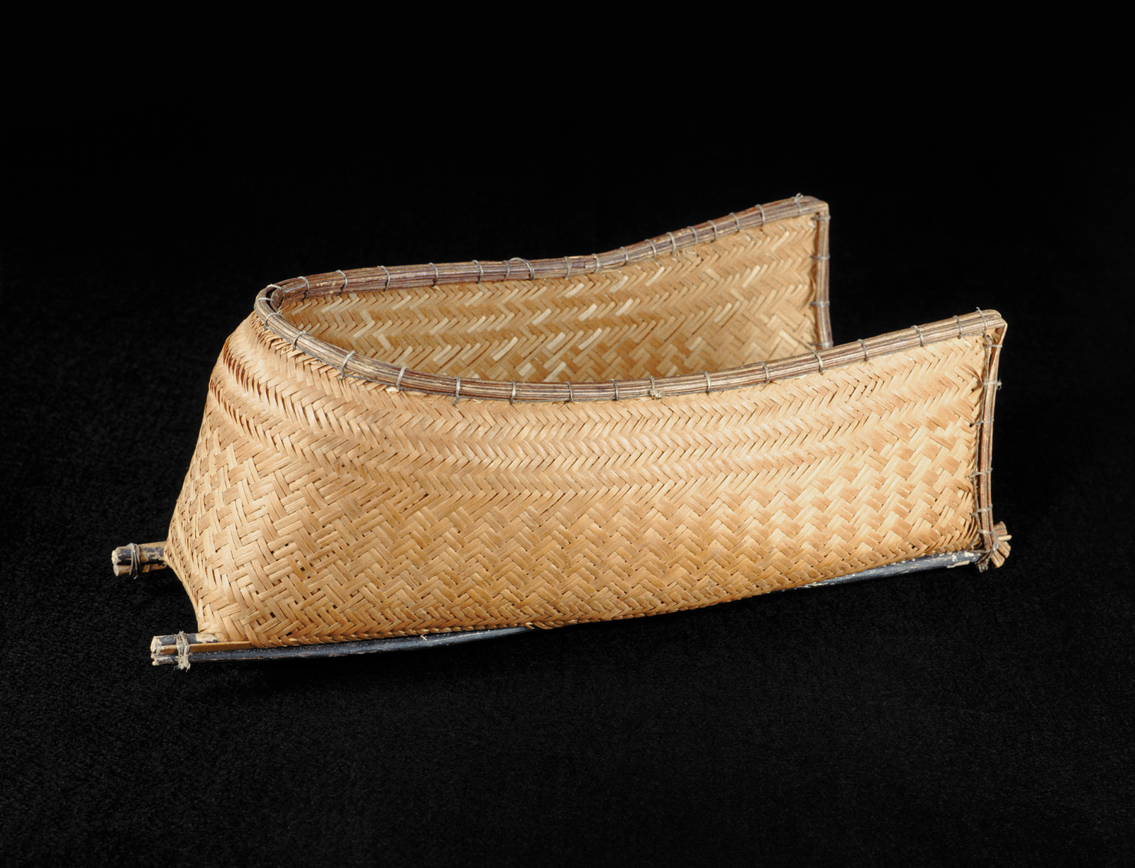
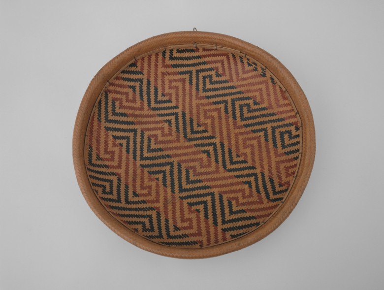
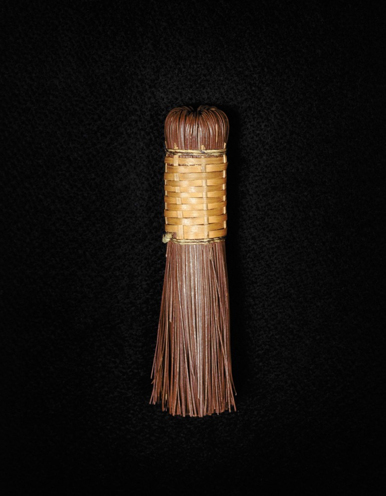
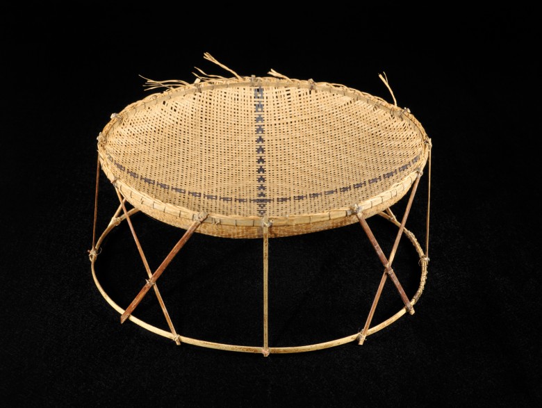
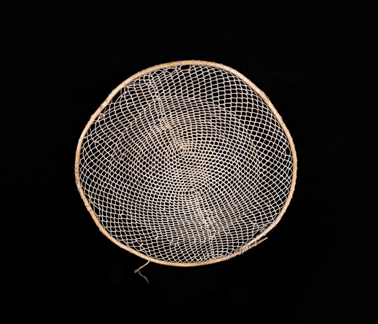
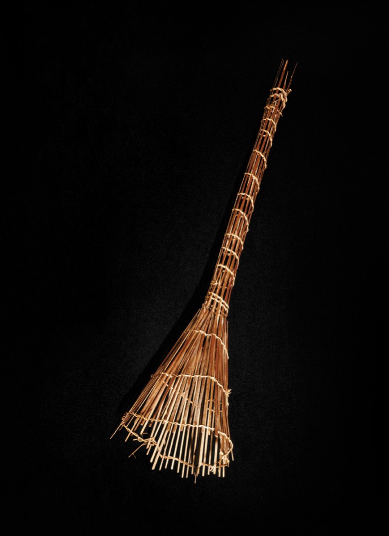
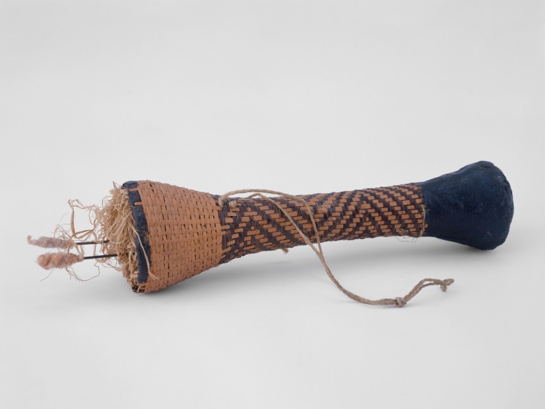
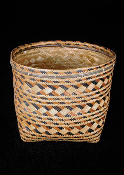
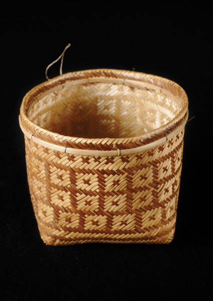
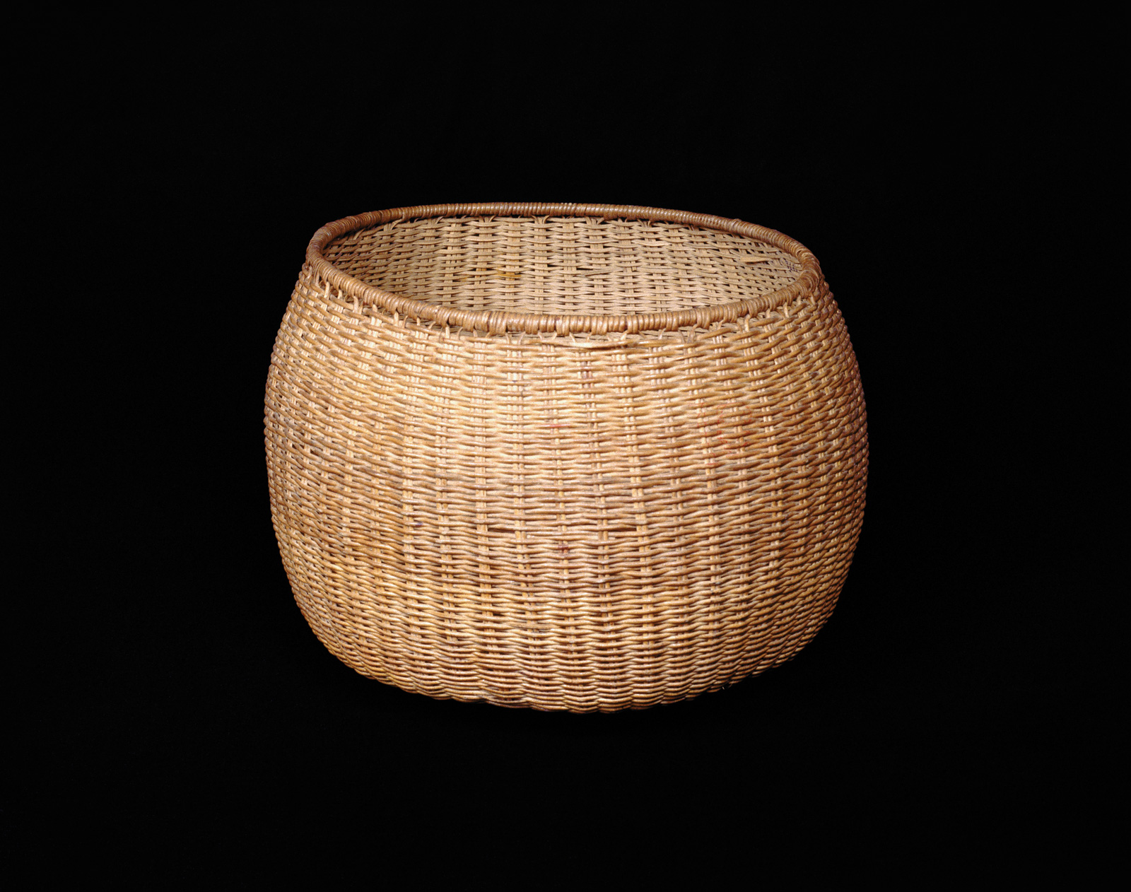
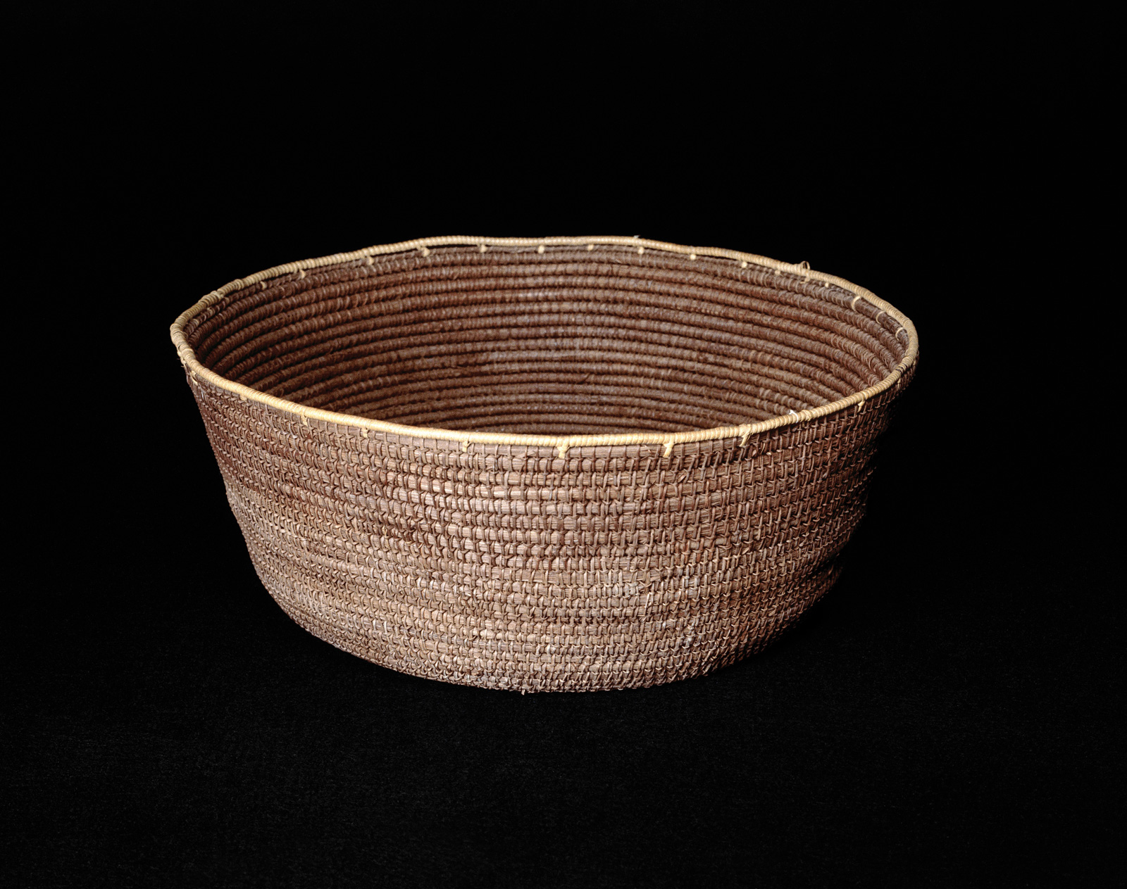
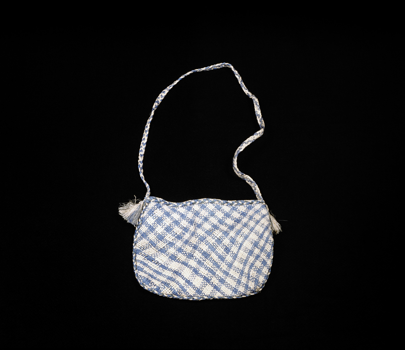
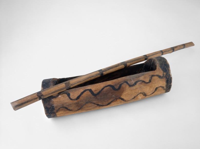
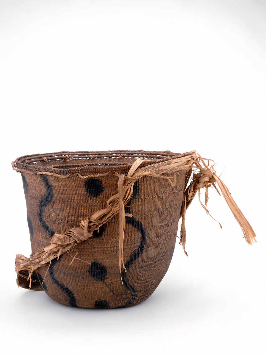
Women make textiles, baskets, and, in the past, pottery; men make hunting and fishing implements.
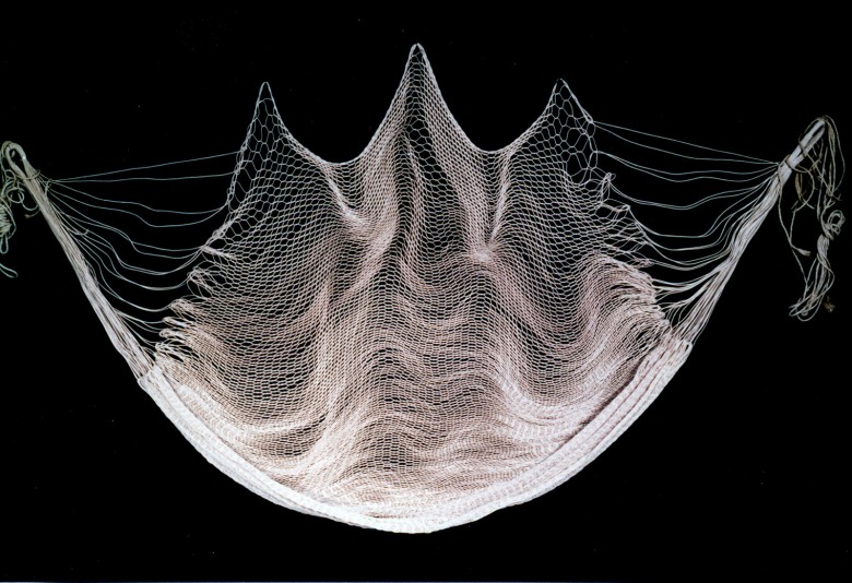
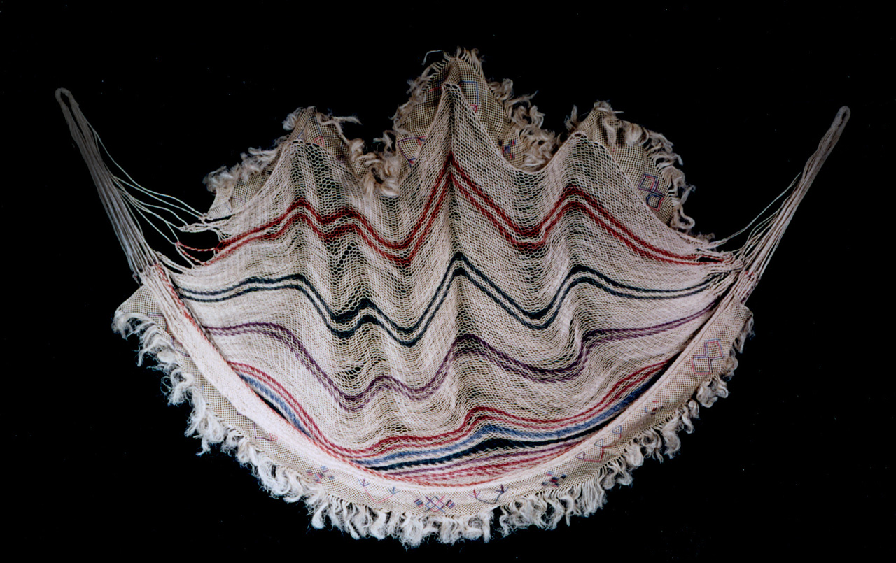
In addition to the guayuco, Yanomami textiles include the chinchorro or hammock that Yanomami women weave on rustic frames of wood nailed into the ground. During trips into the jungle, the Yanomami use mamure fiber to weave provisional hammocks, marakami-toku, which are often discarded after the trip.
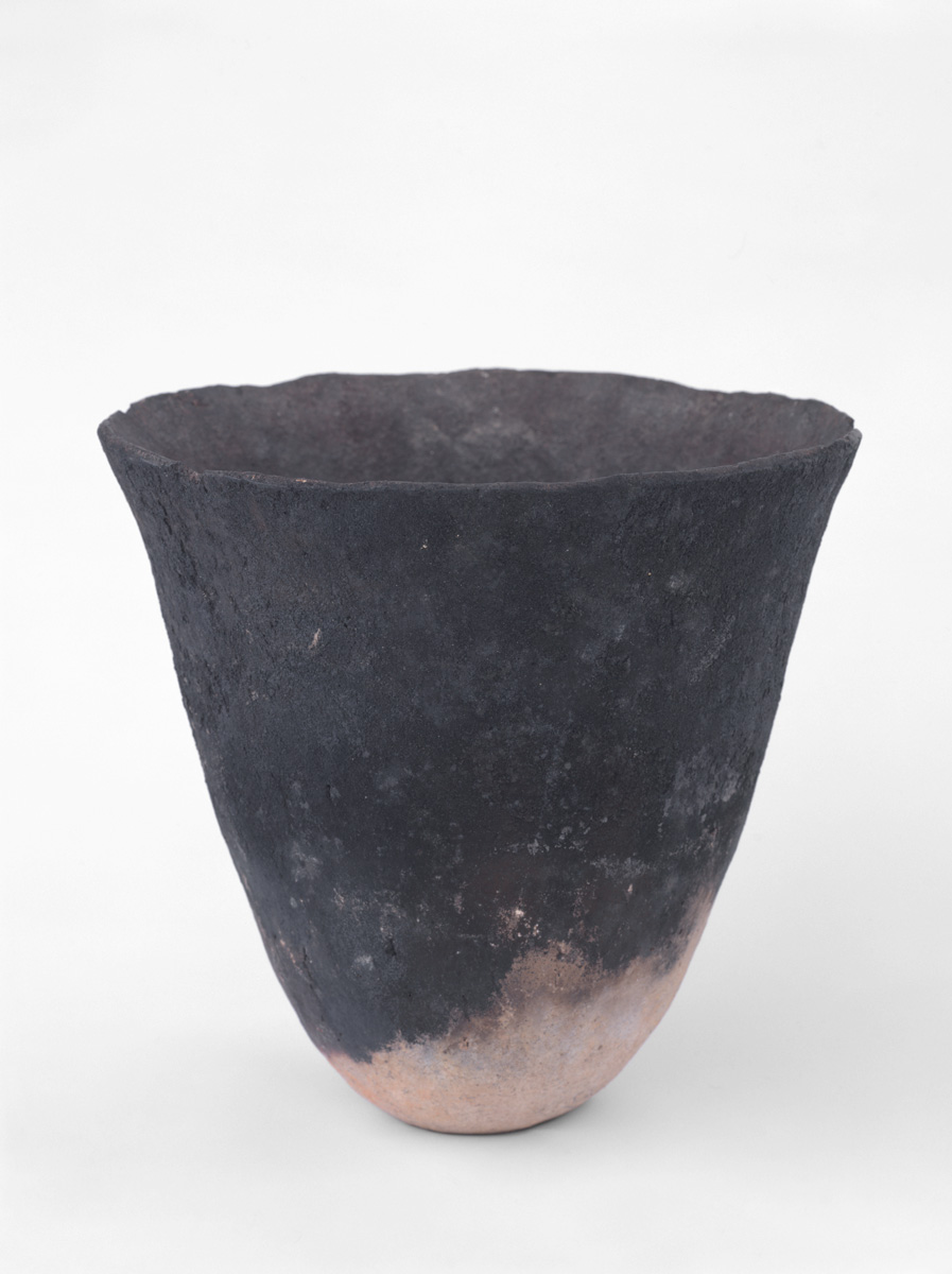
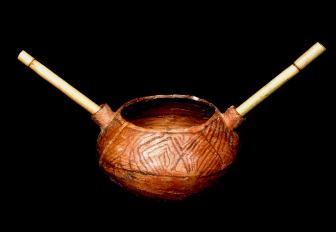
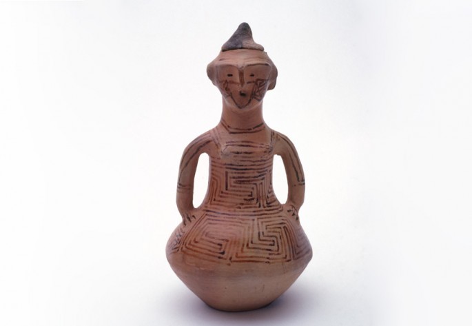
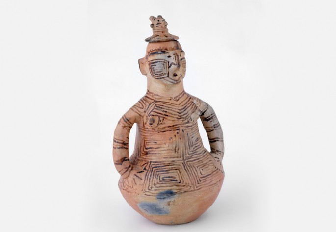
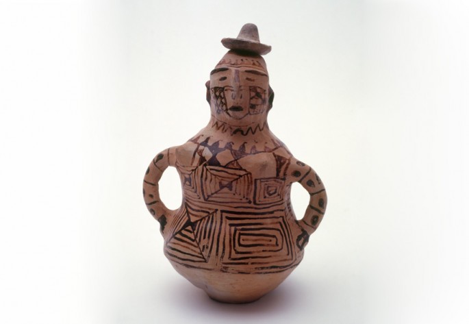
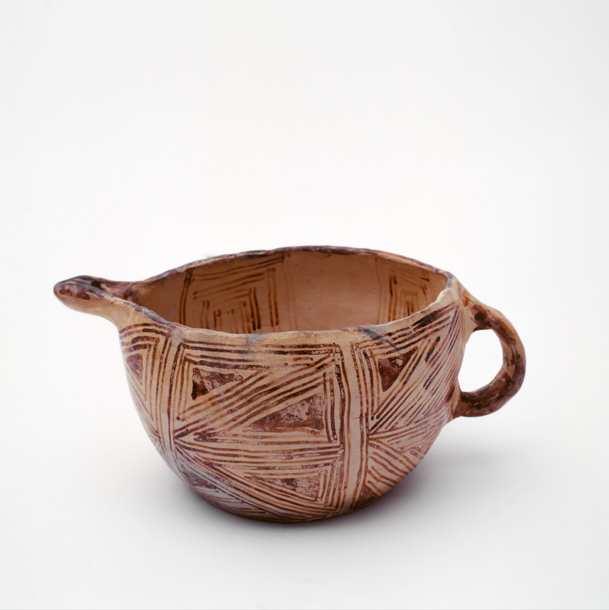
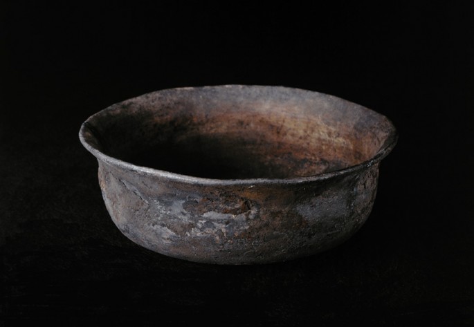
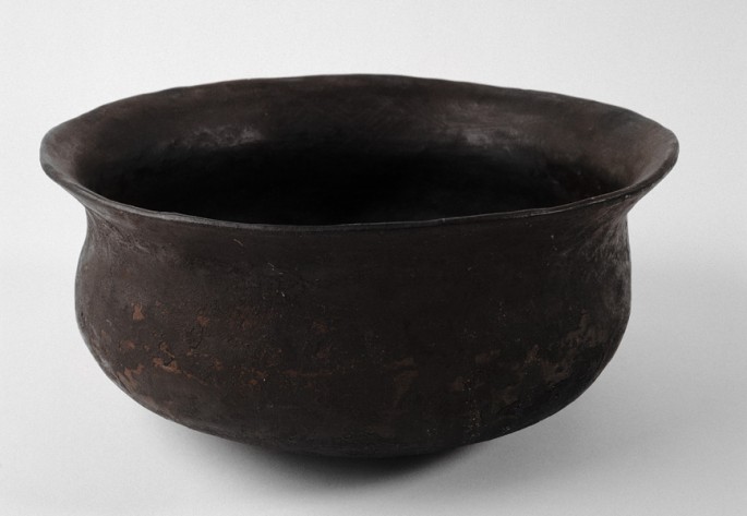
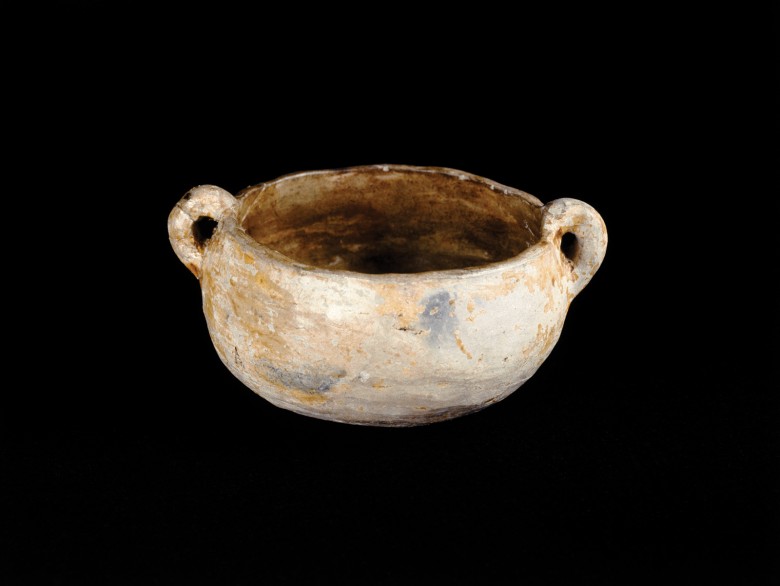
In the past, pottery was an important artisan craft in Yanomami culture, but today it has almost completely disappeared. Few communities still make the typical hapoka, a plain bell-shaped pot made with white clay. Since metal pots became available, the Yanomami have discontinued their tradition of pottery.
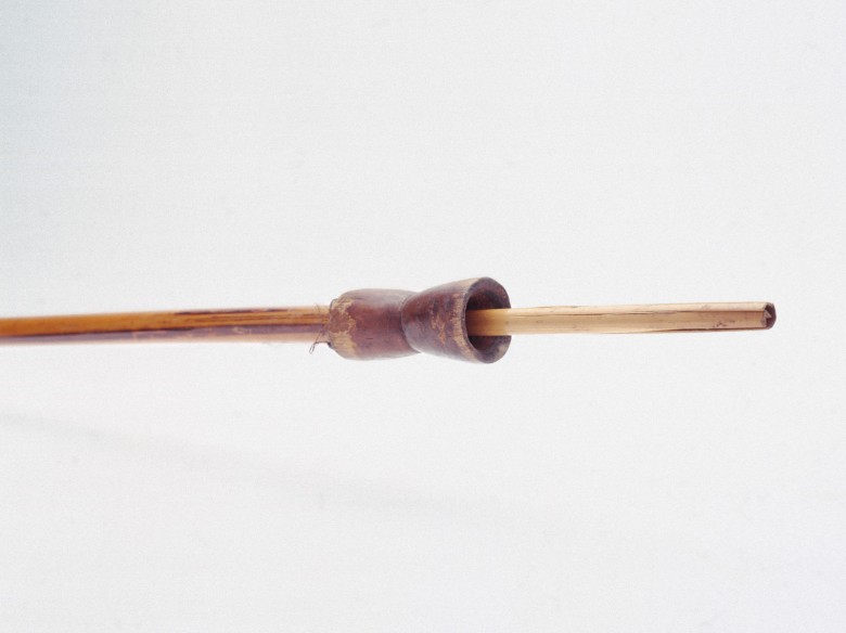
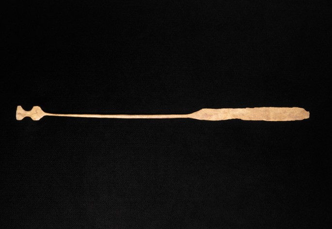
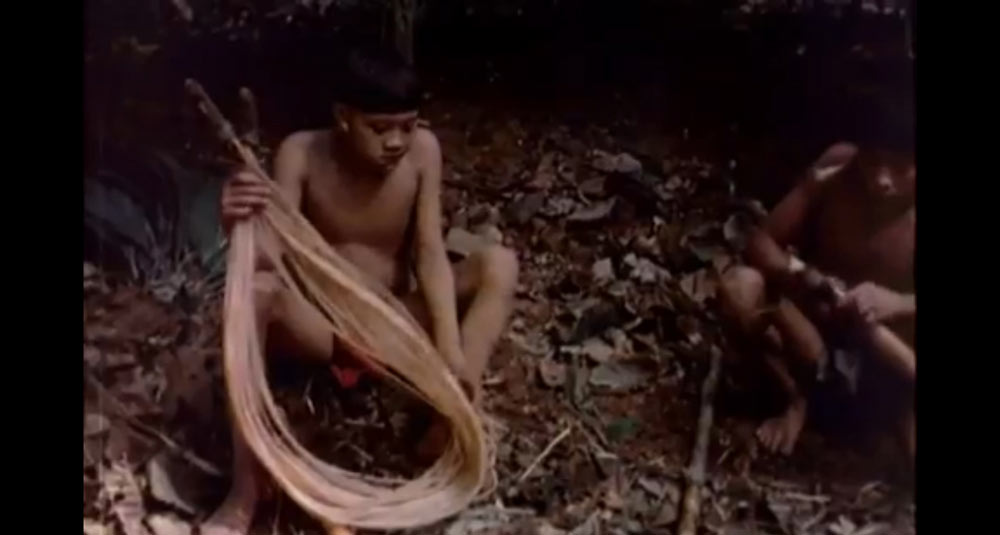
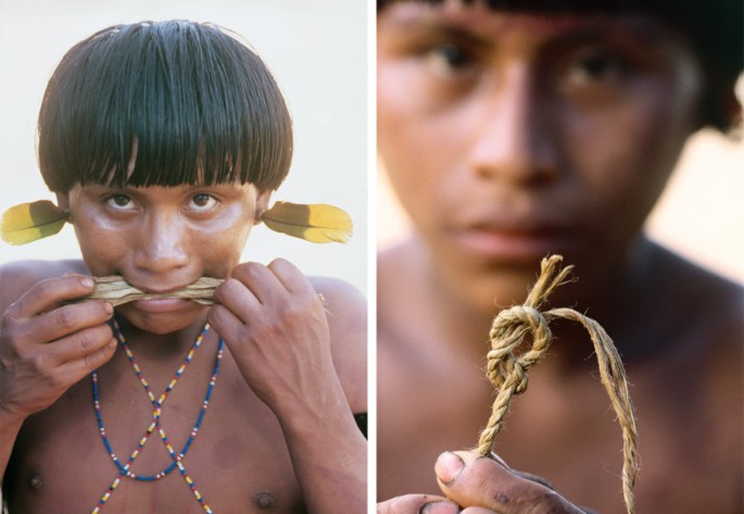 On the left, a Yanomami warrior shows how he moistens the fibers from the bark of the tree Cecropia sciadophylla to make the bowstring. On the right, the figure-eight knot made to hold the bowstring in place.
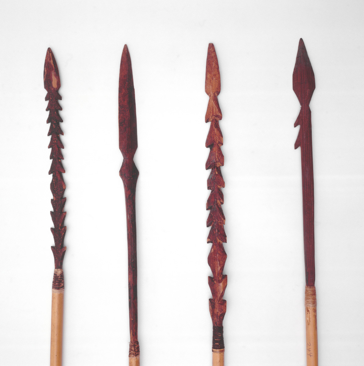
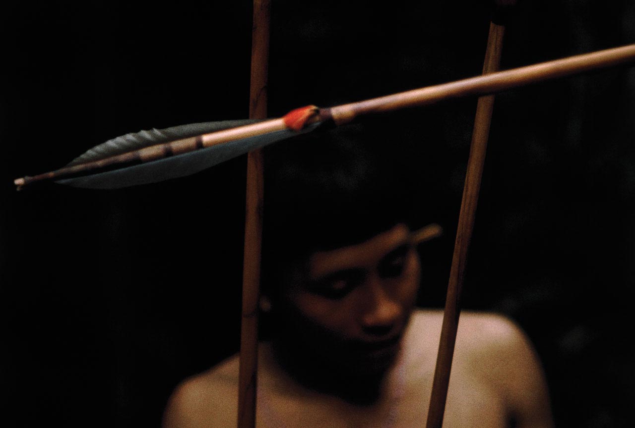
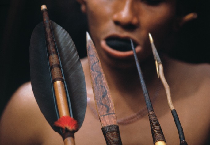 Yanomami man from the village of Bisaasa-teri, in the Upper Orinoco river, with a variety of arrows.
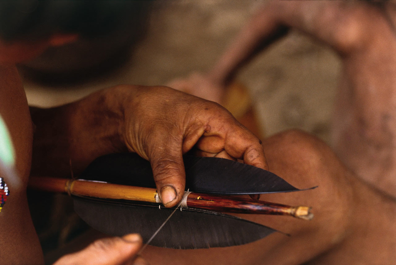
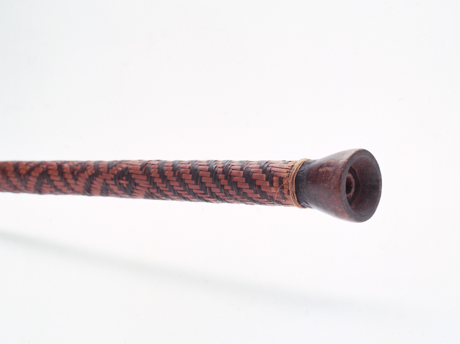
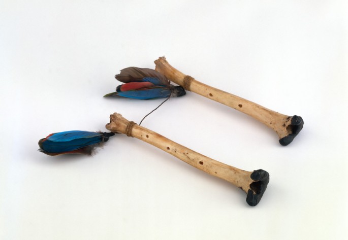
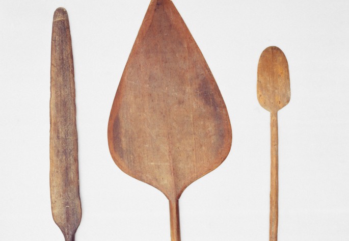
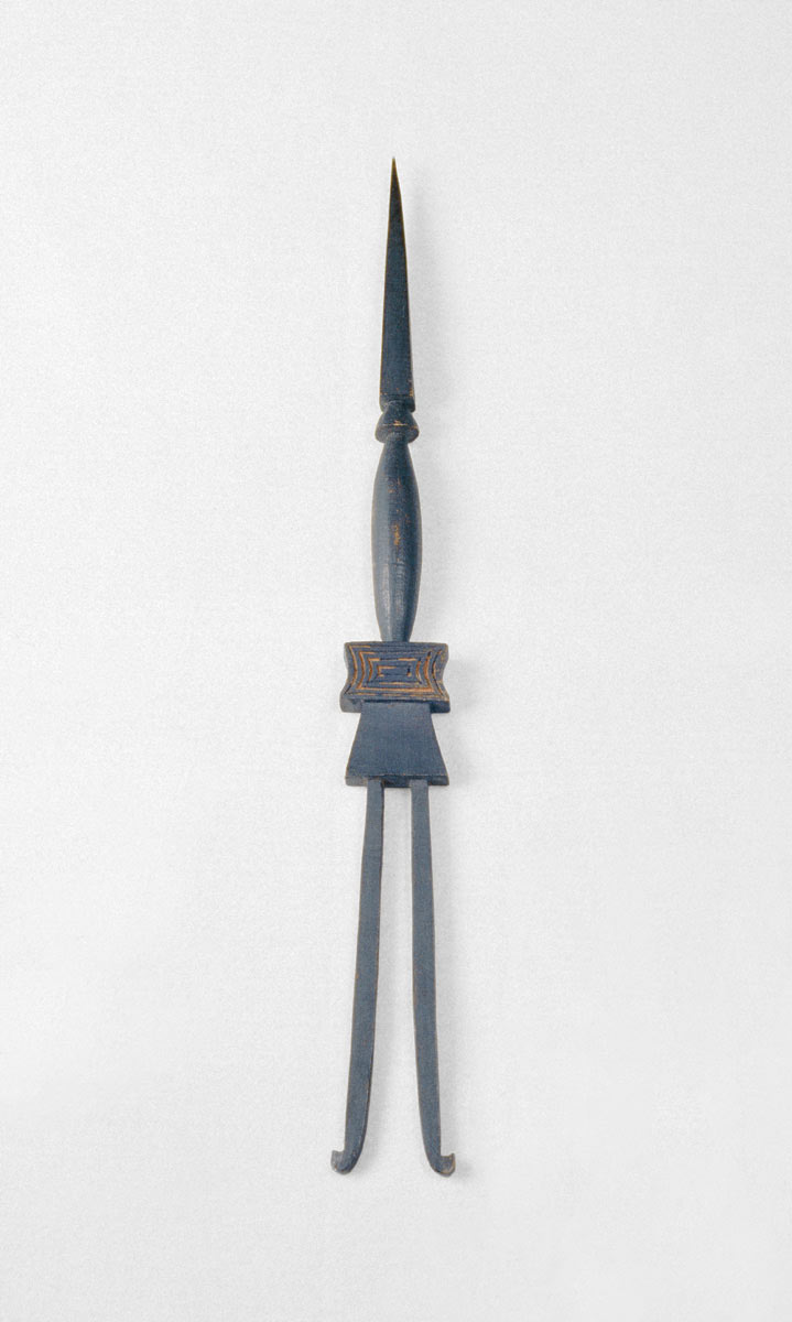
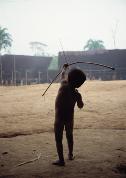
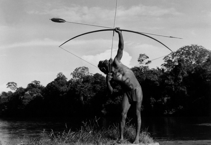 The Yanomami use a very strong palm wood they call "joko" (Jessenis bataua) to make their bows.
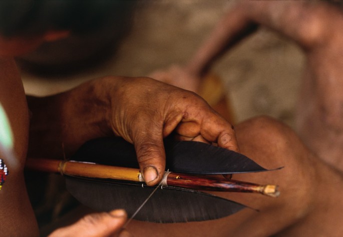 The feather and the notched end of the arrow are attached with shinani, a thread made of cotton or the fiber of a bromeliad leaf.
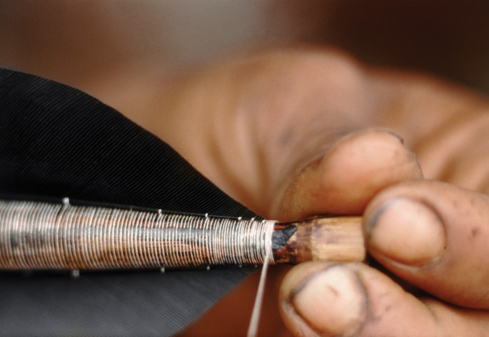 The nock end of the arrow, where it is notched.
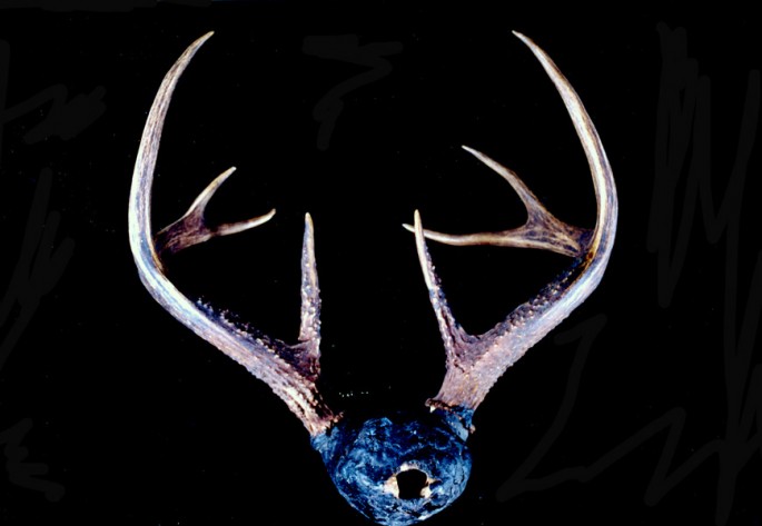
The Yanomami have kept the tradition of making bows and arrows alive, although firearms have been introduced, and acculturation has changed many other aspects of their lives, as well.